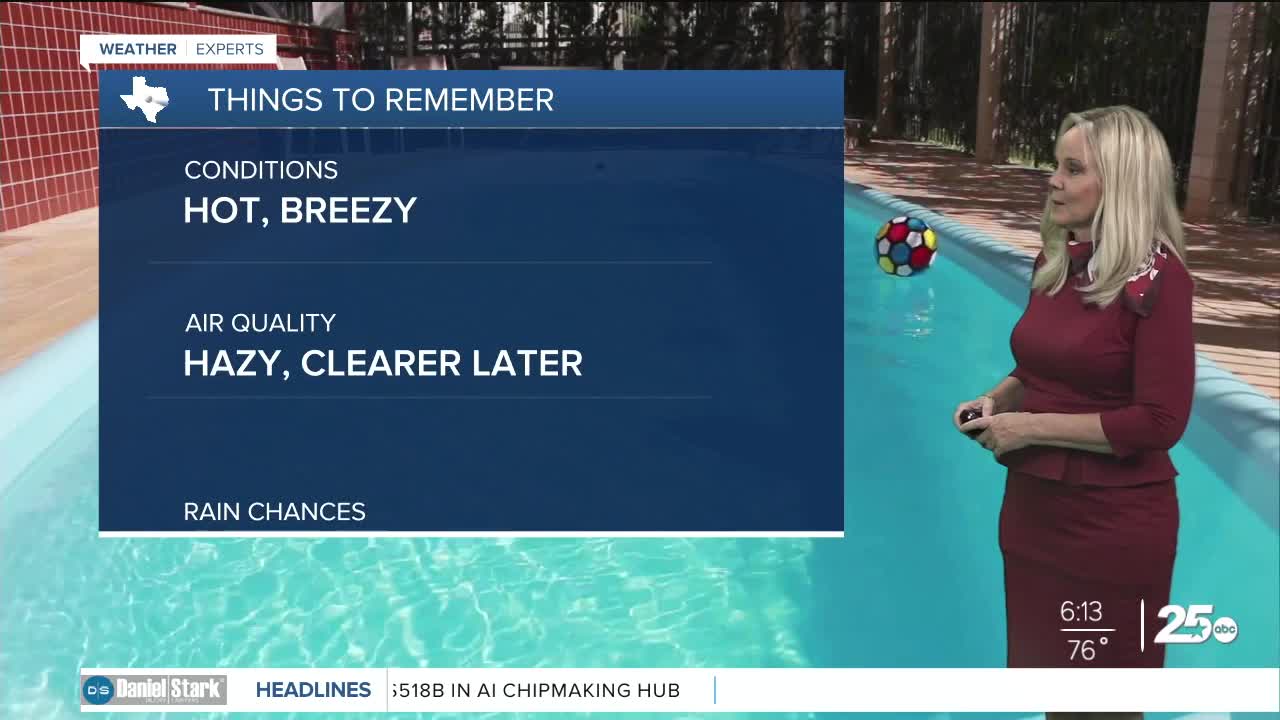


CENTRAL TEXAS — Saharan dust remains in the atmosphere making for a hazy afternoon. It will begin to lessen and clear out later in the day, making Wednesday much clearer. Meanwhile, temperatures are set to land just above normal today with a high of 96 and a feels like temperature of 101 degrees. Dew points are remaining high enough to make it very humid but with them peaking in the upper 60s in the afternoons, the heat index will only raise just above 100 degrees for most counties along I-35 and east of the interstate. West central Texas will be drier with feels-like temperatures in the mid to upper 90s.
Today will be slightly less breezy as the last few days as the pressure gradient widens. Gusts between 25 and 30 mph are expected this afternoon.
Rain chances remain minimal. I can't rule out a pop-up isolated thunderstorm in the Brazos Valley with the sea breeze in place. However, that opportunity is very slim. The next decent chance for rain arrives on Sunday. I have us at a 20% chance of precipitation.
As we move into the holiday weekend, temperatures rise to the upper 90s. We could hit 100 degrees on July 4th. It will be a hot holiday and a sweltering one for our friends off to the northeast as a heat dome prevails throughout the south and northeast..
Want this forecast delivered to your inbox each morning? Sign up for the daily forecast email newsletter here.
