



CENTRAL TEXAS — The "September Scortch" continues. A heat advisory is in effect for all counties along the I-35 corridor and east in Central Texas. The Brazos Valley is also included. High temperatures should reach 101 degrees with feels-like temperatures up to 106. The all-time high for September 15th was set in 2024 at 101 degrees. By 6 pm we should know if the record was tied. September is turning out to be exceptionally hot. Our average temperature for this time of year is 91 degrees. So with a forecast of ten degrees hotter, we are well above the average half way through the month.
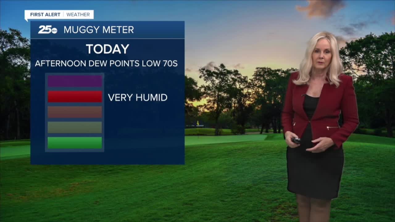
Dew points will hit the 70s, making it feel very humid today. They decrease slightly tomorrow and take a significant slide to the mid 60s by the weekend. Saturday will be our least humid day and most comfortable for the rest of the week, albeit it will remain hot. The heat index should only run a couple degrees above the air temperature for Saturday.
There is the possibility for a pop-up shower to enter the Brazos Valley via the sea breeze in the late afternoon or early evening for the next few days. But aside from that, any substantial opportunity for rain in Central Texas or the Brazos Valley, won't arrive until Sunday. A cold front will try to make its way through our area Monday, bringing with it a chance for rain and a welcome drop in temperatures. Temperatures could drop to the mid 90s, which is closer to our climate's average.
Want this forecast delivered to your inbox each morning? Sign up for the daily forecast email newsletter here.
