

25 EVENING WEATHER — Here we go!
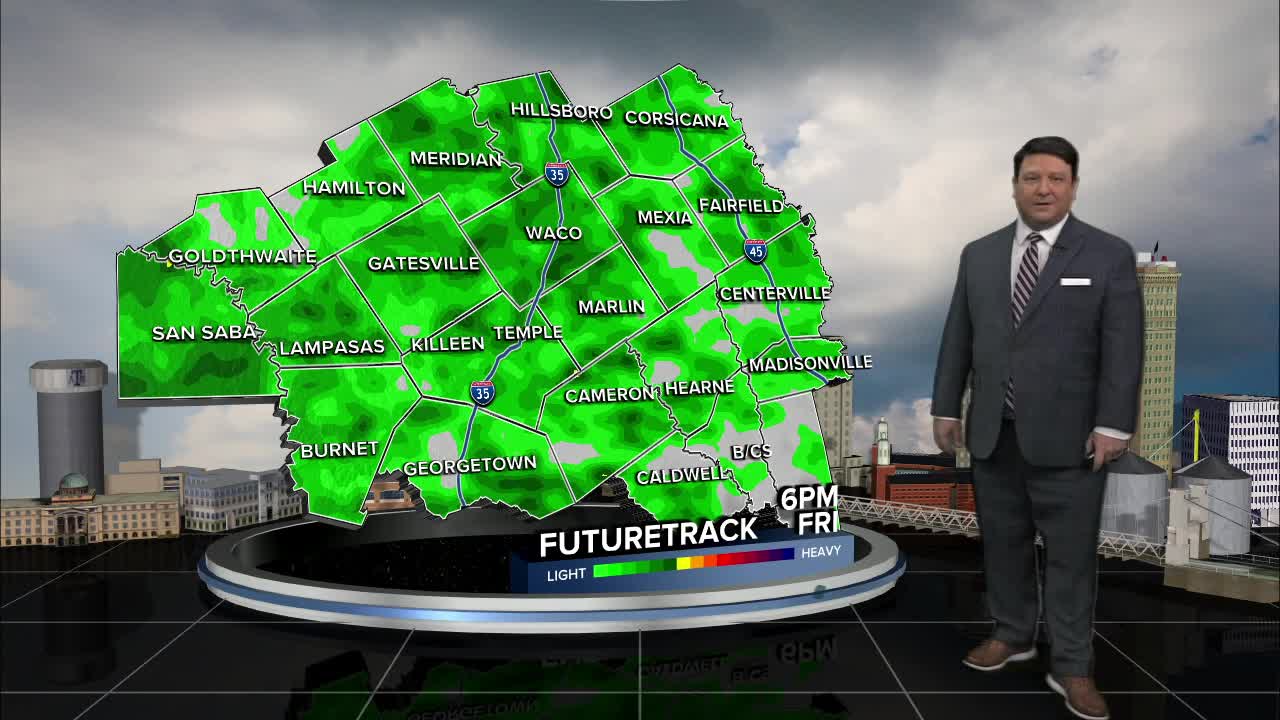
FRIDAY: It looks mostly cloudy with areas of rain developing during the day. Temperatures will stay well above freezing in the 40s north, 50s central, and a few 60s south. Rain will continue into Friday night, but temperatures should stay above freezing through sunrise Saturday.
SATURDAY: Temperatures will fall all day as an arctic cold front works its way through Central Texas and the Brazos Valley. We should see freezing temperatures by lunchtime from Waco, north. The rest of the area will likely fall to or just below freezing Saturday evening. On and off showers/freezing rain will be possible through the day Saturday. Bridges and overpasses, side streets and some trees and power lines could start to accumulate some ice by Saturday afternoon. Temperatures will fall from the 30s into the upper 20s by Saturday evening.
SATURDAY NIGHT: This will be the worst part of the storm. The main energy will move into Texas from the southwest during the night. Widespread freezing rain and sleet will develop after sunset and last through Sunday morning. There appears to be enough energy for a few thunderstorms as well. This would create higher precipitation values in a few areas. In general, .10" to .50" of freezing rain and 1-2 inches of sleet will be possible. Areas from Waco, north will have the highest amounts...tapering off the farther south you are into the Brazos Valley. Roads will likely become iced over Saturday night into Sunday morning. There could be some power disruptions where the heaviest freezing rain amounts occur. Temperatures will likely fall into the 20s area-wide by Sunday morning.
SUNDAY: It will remain cloudy with our wintry mix ending form west to east Sunday morning. There could be a few snow showers into the afternoon, but accumulations will be very low. Highs will only be in the upper 20s and low 30s, so what is on the ground will likely stay on the ground.
SUNDAY NIGHT/MONDAY: This is when we will see our coldest readings across the area. Lows will be in the upper single digits and teens across the area with wind chills near zero. This will keep any ice around through Monday morning. We should see some sunshine Monday afternoon with highs in the low to mid 30s. Anything that remains on the ground will refreeze Monday night into Tuesday morning.
Want this forecast delivered to your inbox each morning? Sign up for the daily forecast email newsletter here.
