

25 EVENING WEATHER — We are looking at rain chances for part of this week into Easter weekend. It will not rain tonight with lows in the mid 60s. Tuesday looks warm and breezy with highs in the mid 80s. Winds will gust over 30mph at times.
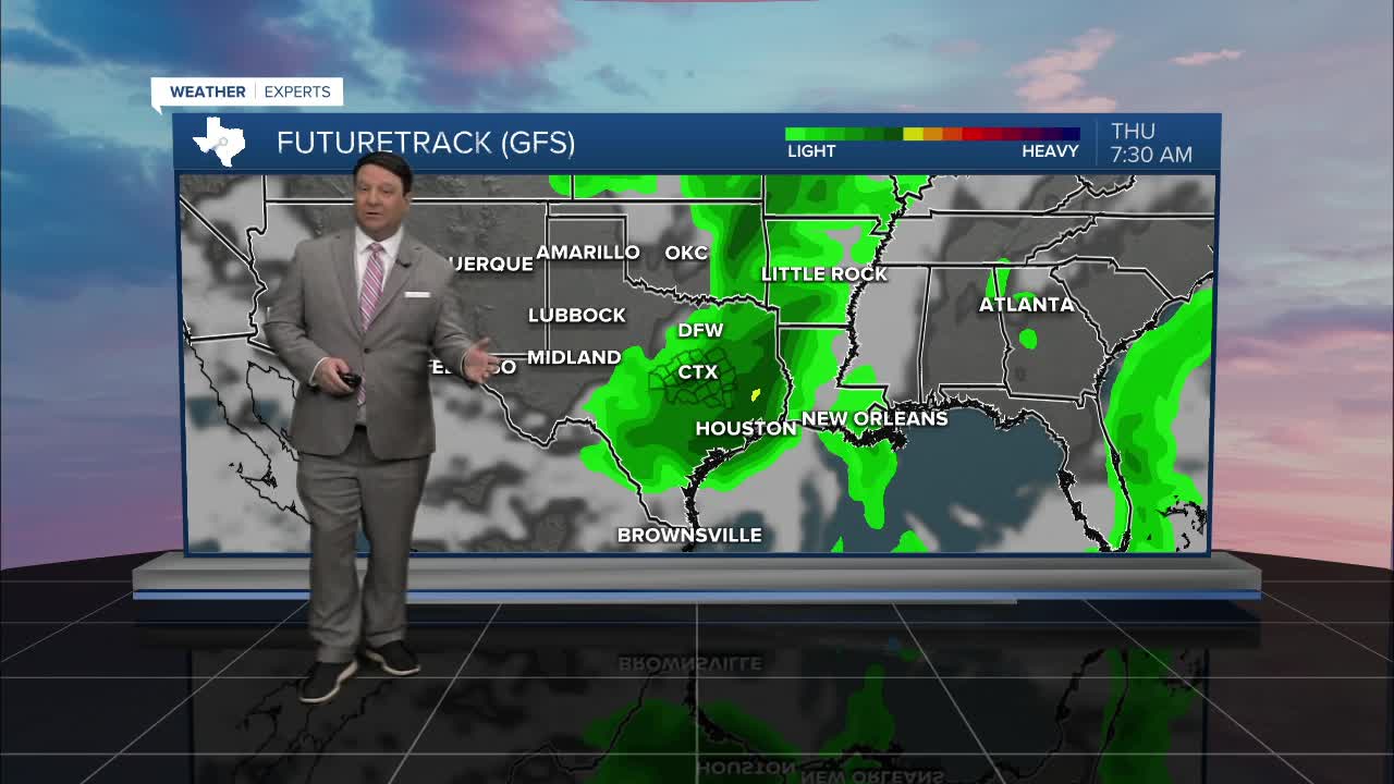
Wednesday will start to bring our first decent chance of rain this week. It won't be in the daytime but more Wednesday evening into early Thursday morning. Highs Wednesday should be in the upper 80s with breezy southerly winds once again. Storms should fire in west Texas Wednesday afternoon and move into the area Wednesday evening from west to east. As storms move in, they should weaken with time since we will stabilize more during the overnight hours. That means the overall severe threat is low, but there could be a few storms produce gusty winds, especially west of I-35. The good news is we should see some rain! Rain totals with this line should be in the half inch to up to an inch range.
Rain will taper off Thursday morning, and we should see drier conditions Thursday afternoon through Friday. Highs will remain in the 80s both days ahead of our next front that will arrive Saturday. this front will usher in another chance of showers and storms Saturday afternoon into Saturday night. Again, the overall severe threat looks low at this time, but a few stronger storms are possible. Highs Saturday will be near 80°, but we will see falling temperatures as we head into Easter Sunday. Sunday's highs might not get out of the 60s if the clouds hold all day. As far as rain chances for Easter, well it looks like it will be moving east, but a few showers could be possible during at least the first half of the day. We will continue to track this part of the forecast closely since it is a significant holiday out there!
Want this forecast delivered to your inbox each morning? Sign up for the daily forecast email newsletter here.
