

25 EVENING WEATHER — A disturbance will move across Texas tonight. We may see a couple of sprinkles, but most of us will just see mostly cloudy skies. Temperatures will be cool, with lows in the low 50s. Wednesday will bring decreasing clouds during the afternoon with highs in the upper 70s.
Gulf moisture and weak disturbances will increase rain chances Thursday into Friday, with Friday likely being the wetter of the two days. Instability looks rather low, so the severe weather threat should remain low as well. Locally heavy downpours and lightning will be the main threats at this time. Highs will be near 80° Thursday and in the upper 70s Friday.
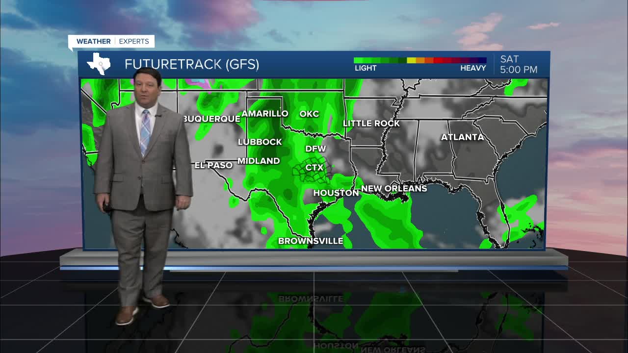
A stronger disturbance is expected to move closer to Texas this weekend. There are some track differences in the models, but it appears there could be a few strong to severe storms, especially Sunday. There are timing differences that could make a n impact on how strong storms are going to be in our area. If we see more of a Saturday night into Sunday morning event, our severe weather chances will be lower. If it is more of a Sunday afternoon event, then we would have a higher severe weather threat. As of now, the morning timing seems to be the one models are leaning toward, but we will continue to track this closely in the coming days. Highs both Saturday and Sunday are expected to be in the upper 70s.
Want this forecast delivered to your inbox each morning? Sign up for the daily forecast email newsletter here.
