

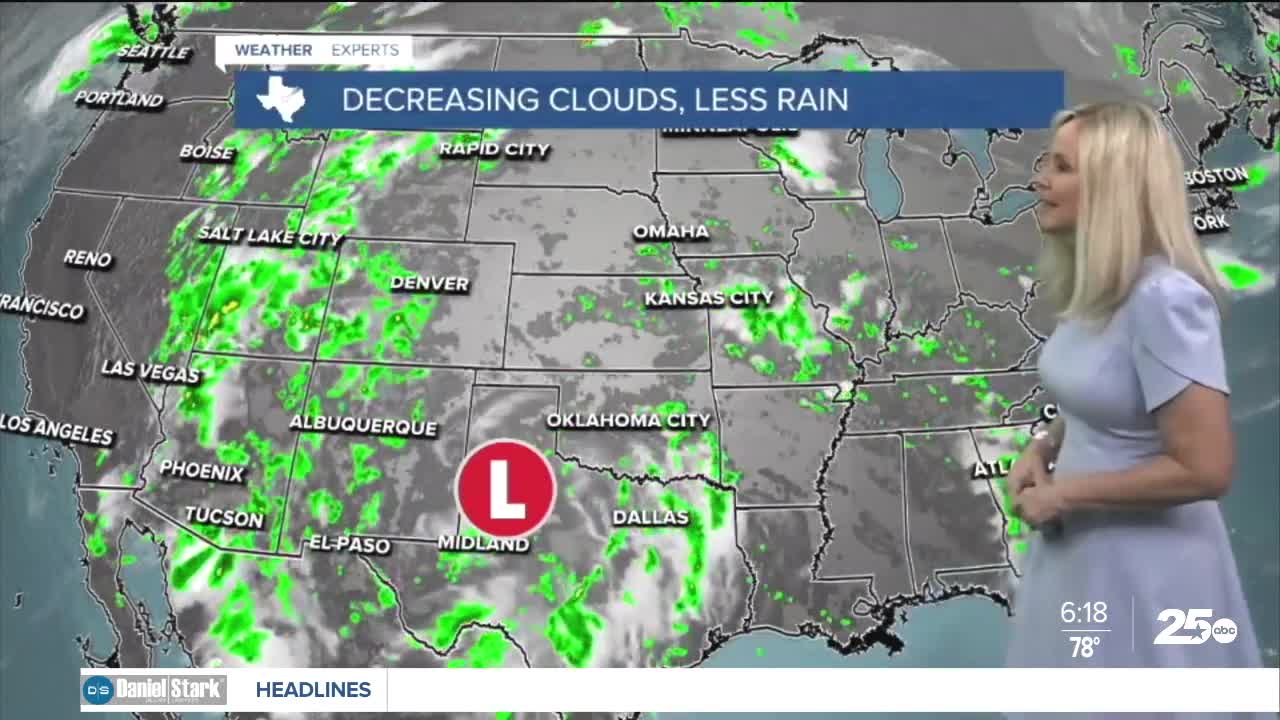


CENTRAL TEXAS — Rain chances hang this morning for our western counties. San Saba remains under a flood watch through Friday evening where two to five inches of rain is possible.
The low pressure system that has been slowly churning to our southwest is finally moving a bit north and west. This provides our western counties with a.m. showers, while the rest of Central Texas begins to dry out. We can't rule out a scattered shower making its way across our central counties, but the majority of us will be drying out and heating up.
This weekend will be a great opportunity to get outdoors. After a wet week, you can expect a busy day on the lake and the Waco Riverwalk as Central Texans catch up on enjoying the outdoors. It will be hot and humid with a heat index in the low 100s with dry skies.
Winds will continue to arrive from the south between five to 15 mph with gusts running between 20 and 25 mph in the afternoon both Friday and Saturday. The short lived breeze will provide relief from growing heat today and tomorrow.
High temperatures have returned to the 90s. We are on schedule to hit the low 90s today. By the end of the workweek it will feel like summer in Central Texas again as temperatures rise above average. We should be on the edge on 100 degrees late this week.
Keep in mind the humidity will fluctuate from the mid 60s to low 70s. That means it will feel a bit hotter than the actual air temperature. Feels-like temperatures will hang out in the low 100s this weekend then rise with the dew point temperatures. Dry conditions and mostly blue skies return for the next week.
Want this forecast delivered to your inbox each morning? Sign up for the daily forecast email newsletter here.
