

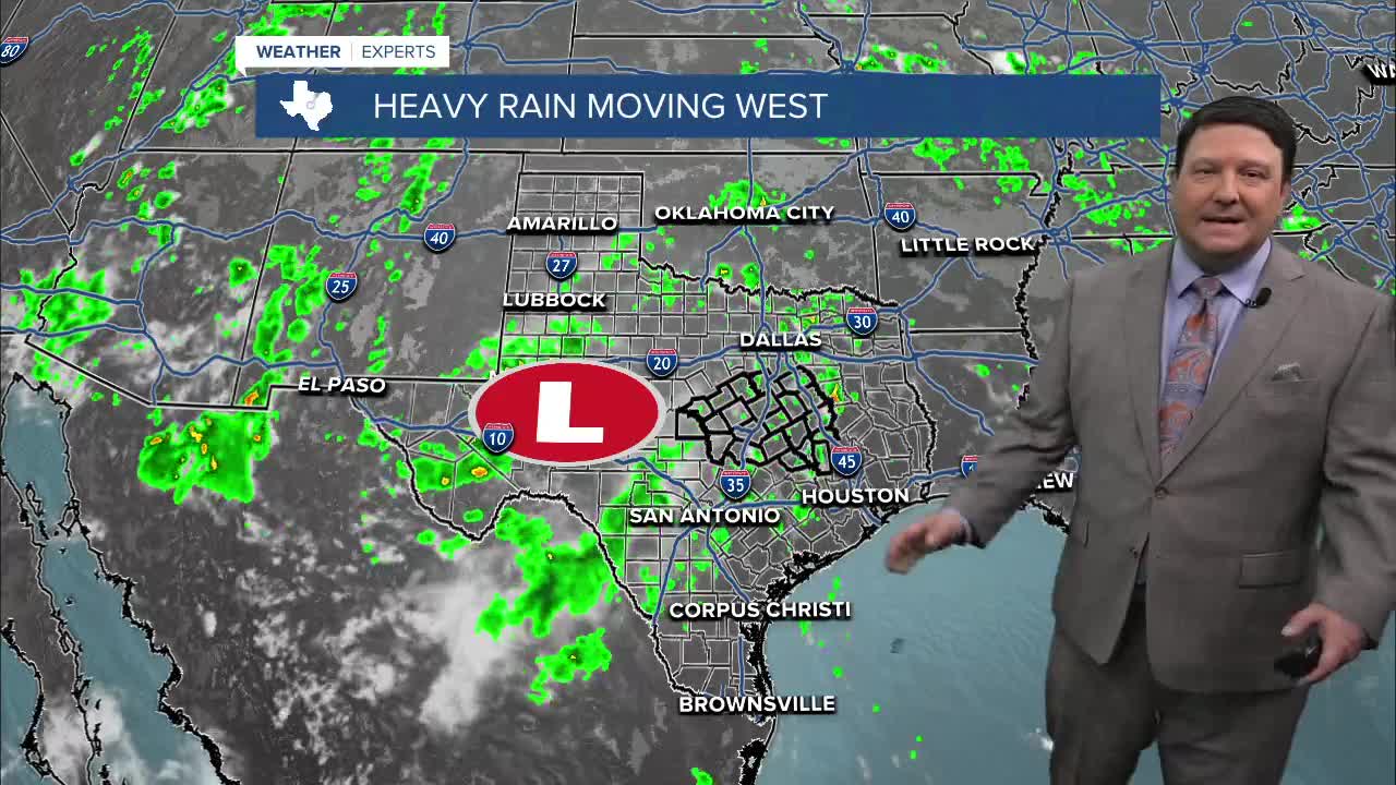


25 EVENING WEATHER — Our upper low that has provided the rain is shifting a little farther north and west tonight. This will bring a chance of heavy rain from San Saba and points to the west. Most of us will see any rain activity die down after sunset with lows in the mid 70s. We will be keeping an eye across our far western counties tonight for the potential of some locally heavy rain.
Friday will bring drier conditions, but there will still be a chance for a few pop up showers and storms across the area. if you get under one of these storms, you will likely see heavy rain and some lightning. Outside of any rain areas it will be hot, with highs in the low 90s.
This weekend into next week looks plenty hot. Highs will return to the mid 90s over the weekend and mid to upper 90s next week. There are a few models that show triple digits next week, but with our wet ground, this could be a little overdone. No matter what...it's going to get hotter and the rain chances will be going away!
Want this forecast delivered to your inbox each morning? Sign up for the daily forecast email newsletter here.
