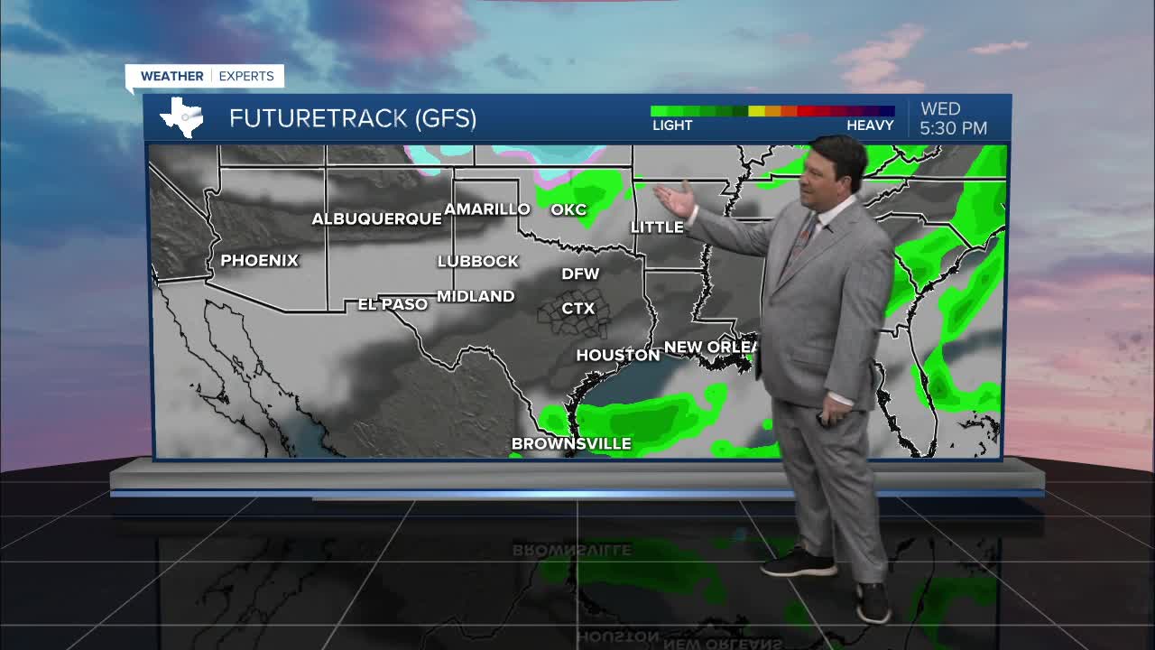


25 EVENING WEATHER — It's been dry for awhile, so it's time to reverse that trend this week! Tonight will bring increasing clouds with lows in the mid to upper 60s. Wednesday should be mostly cloudy and warm with highs in the low 80s. There could be a few showers and storms west of I-35 by late afternoon and evening, but the best rain chances should arrive Thursday.
Off and on rain is expected through the day Thursday into Thursday night. A couple of strong storms are possible with gusty winds, but the main threat should be from the potential of heavy rain. 1-2 inches of rain looks possible for much of the area, but some totals could be in the 3+ inch range. Since it has been so dry, it should take some time for flooding concerns, but we will track this potential closely. Rain chances will taper off and end from west to east Friday morning. Highs Thursday are expected to be cooler int he mid 70s with the clouds and rain. Friday should bring some clearing in the afternoon with highs in the mid to upper 70s.
The weekend will bring a mixed bag of weather. Saturday looks partly cloudy with highs in the mid 70s. Sunday, clouds will increase once again with showers developing during the afternoon and evening hours. Highs should be cooler Sunday in the low 70s.
There could be another heavy rain threat the Monday before Thanksgiving as another decent storm system moves through Texas. Some of that activity could linger into Tuesday morning the way it looks right now. Drier weather is expected Wednesday, but a strong cold front may arrive on Thanksgiving Day or Friday...stay tuned!
