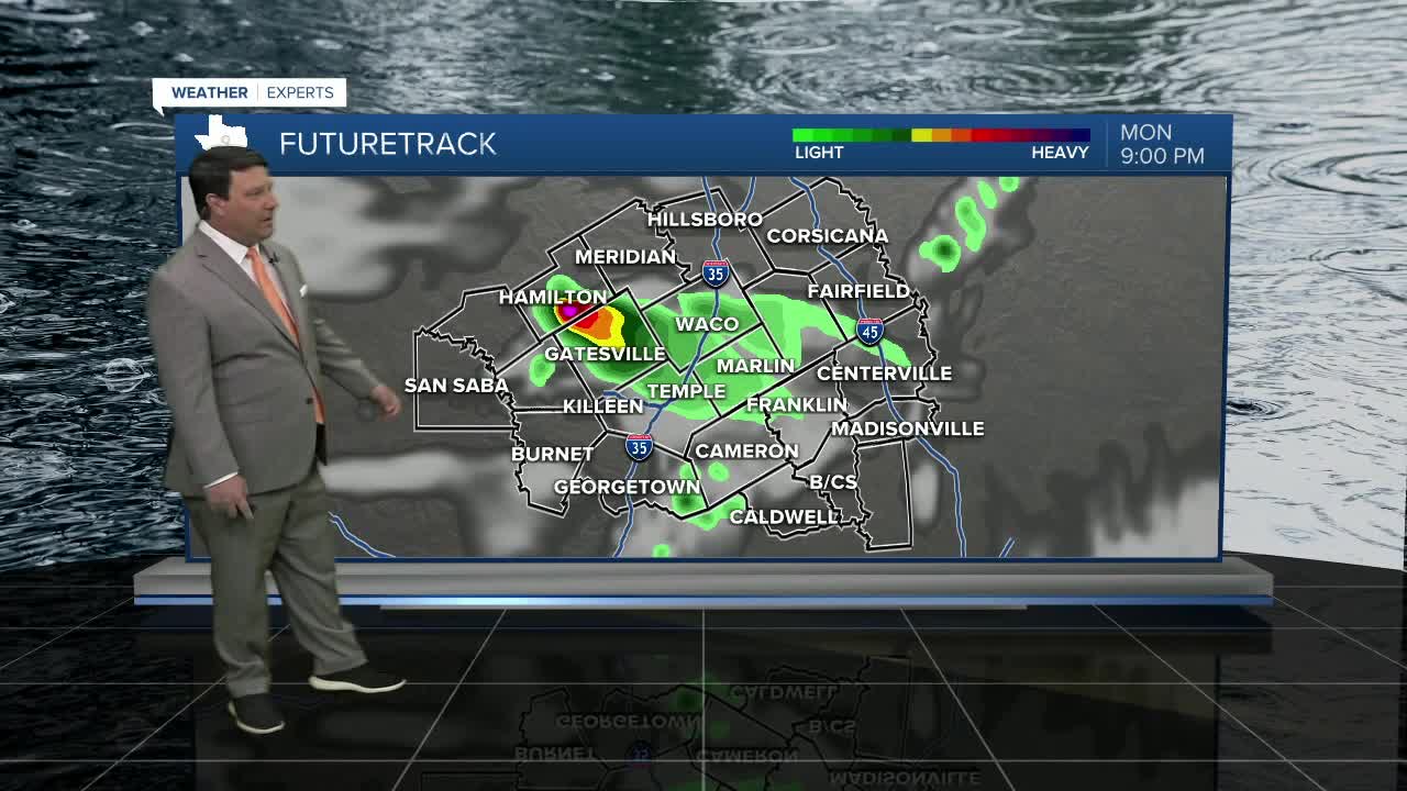


25 EVENING WEATHER — It was a hot and humid Monday, and should be that way again Tuesday. An isolated storm can't be ruled out west of I-35 this evening, but chances are 20% or less. If a storm can get going, then some large hail would be possible. We should be quiet for most of the night with muggy lows in the mid 70s. Tuesday, an isolated storm or two will be possible across our western and northeastern areas during the afternoon and evening hours. Storm chances again will be around 20%. Highs will be hot around 90°, but the humidity will make it feel hotter in the mid to upper 90s.
A cold front will move into the area Wednesday. A few scattered showers and storms are possible along the front as it moves through the region. It should be cooler, with highs in the mid 70s for Central Texas and low 80s for the Brazos Valley. 70s and 80s will continue for highs Thursday and Friday with cooler conditions in Central Texas and warmer weather in the Brazos Valley. Rain and storm chances will continue to increase Thursday afternoon through Friday.
The weekend looks drier and cooler behind a cold front. Highs Saturday should be in the upper 60s. We should warm back into the mid 70s Sunday. Lows will be in the upper 40s and low 50s.
Want this forecast delivered to your inbox each morning? Sign up for the daily forecast email newsletter here.
