

CENTRAL TEXAS — Central Texans are waking up to a humid and mostly cloudy morning. Low temperatures are mostly in the upper 60s and low 70s around Central Texas. We are on tap to break a record in Waco. The highest daily low was set in 1961 at 67 degrees at the Waco airport.
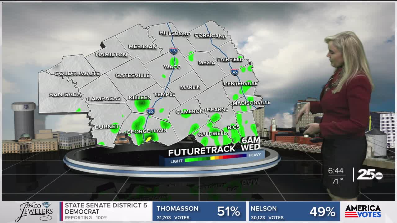
High temperatures will teeter around 80 degrees. Rain will filter through the area today in light drifts. Clouds will dominate along with high dew points and humidity. The late afternoon contains the best chance for stronger storms. The area that could see stronger convection and a slight risk of severe weather lies to the north and northwest portion of Central Texas. Although some isolated storms will pass through other areas.
As we move into the weekend rain chances increase with the arrival of another front Saturday. We could see over two to three inches of rain, possibly more in the northwest third of Central Texas. East of I-35 and in the Brazos Valley, expect drier conditions an significantly less accumulation.
Want this forecast delivered to your inbox each morning? Sign up for the daily forecast email newsletter here.
