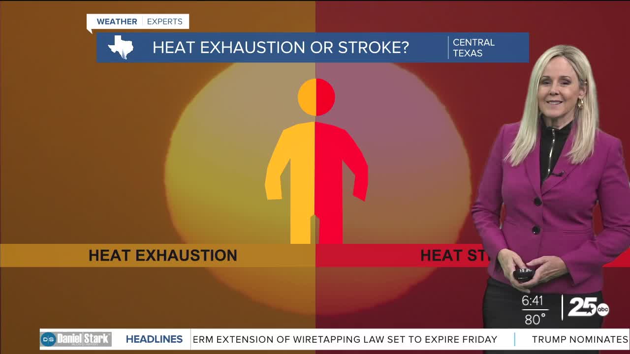


CENTRAL TEXAS — Oppressive humidity sticks around through the weekend. As we close out the work week, we will once again have high temperatures in the mid 90s and feels like temperatures reach 105 degrees. That trend will continue through Sunday afternoon.
Our first opportunity for rain will arrive between late Sunday afternoon and early evening ahead of a much needed cold front. That means you can still plan outdoor activities for your weekend, just be sure to stay hydrated and limit activity outdoors in the afternoon if possible. I have 30% of the area receiving rain for Sunday later in the day.
The big relief from the heat lands in central Texas on Monday when a cold front brings rain to around 80% of the area. This front will linger into Tuesday morning adding a longer break from the torrid heat index. Temperatures will briefly drop to the 80s Monday and Tuesday, then rebound to the 90s. Humidity also return late next week so enjoy the rain while it lasts.
No severe weather is expected with this front. We do have a slight risk for excessive rain on Monday. If that happens, we could see some flood advisories pop-up in low lying areas. We will be keeping an eye on the conditions as this front it moves through Central Texas beginning Monday.
Want this forecast delivered to your inbox each morning? Sign up for the daily forecast email newsletter here.
