

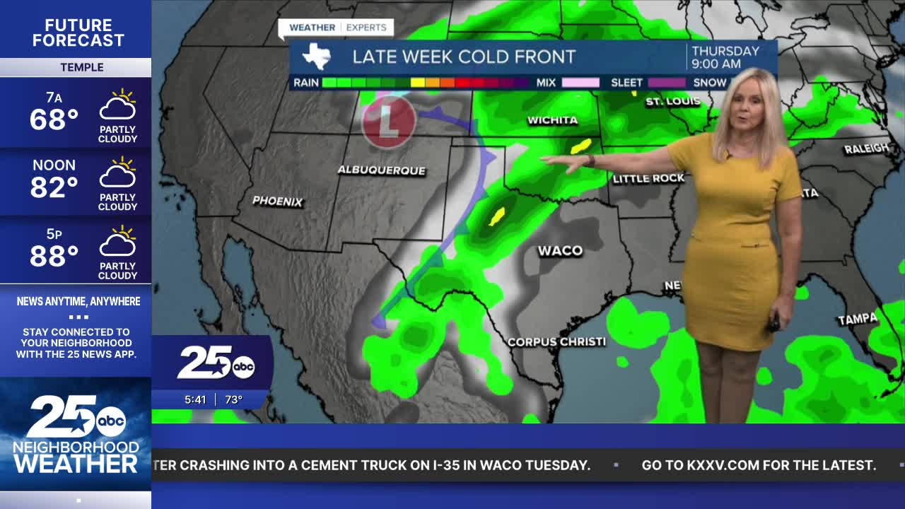


CENTRAL TEXAS — This could be our last day with temperatures in the 90s. Today will be hot with a mixture of clouds and sunshine. Rain chances stay at bay, and humidity has significantly dropped. Dew points were in the mid-70s on Wednesday, making it feel over 100° and oppressively humid. Today is a much different story with the heat index. Dew points are plummeting to the low 60s. That will make the feels-like temperature about the same as the air temperature. Basically, it will feel significantly more comfortable despite being very warm.
Big changes are on the way! A powerful cold front will be sweeping into Central Texas and the Brazos Valley overnight and into Friday morning. West of I-35 will begin to feel temperatures drop this evening. Some rain will pass through. Our far western counties may experience a little more intensity as the main line of storms stalls over West Texas before dissipating. The main impact of this front will be dry air and cold temperatures. We are expecting a high near 70° tomorrow, compared to 90° today. Add sustained winds from the north at 20 mph, and gusts between 30 and 40 mph, and you have a very crisp fall Friday.
It looks like it's time to retrieve at least a light coat from your fall closet as we move into the weekend. Saturday morning lows will dip to the 40s. We should only rise to 69° on Saturday. Sunday morning will remain chilly, then we rebound to the upper 70s Sunday afternoon. Warmer air and moisture return next week as we enter a more seasonal temperature mix in the 80s.
Want this forecast delivered to your inbox each morning? Sign up for the daily forecast email newsletter here.
