

25 EVENING WEATHER — A period of active weather is expected Friday through most of next week. This is good news for rain chances, but we may see a few stronger storms from time to time as well.
FRIDAY: It will be mostly cloudy with scattered showers and storms developing in the afternoon and evening hours. Locally heavy rain and lightning will be the main threats. Highs Friday will be in the upper 70s to near 80°.
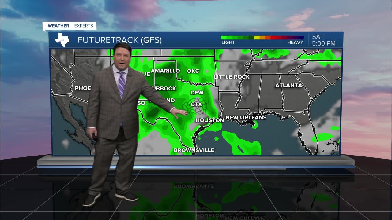
SATURDAY: A few showers and storms will remain possible, but the best chance for strong to severe storms will be in west Texas. Highs will be in the low 80s Saturday afternoon.
SUNDAY: This day will bring a conditional threat for strong to severe storms. The ingredients for severe weather will exist, but it looks messy at this time. The reason for this is the possibility for morning showers and storms for areas west of I-35. If this occurs, this could prevent stronger activity in the afternoon if it is organized. Cloud cover may also be a thing we have to watch through the day as well. If it stays cloudy all day, heating will be less. That means severe storm chances would be lower. If we see more breaks in the clouds, then it could get warmer with more energy to work with. Basically we have decent rain chances, but the severe threat is conditional. Highs will be in the upper 70s to near 80°.
On and off shower and storm chances will occur Monday through Thursday morning of next week. We will have some potential for severe weather, but we need to get closer to get into a more detailed forecast. Highs will generally be in the low 80s with lows in the 60s to near 70°.
Want this forecast delivered to your inbox each morning? Sign up for the daily forecast email newsletter here.
