

25 EVENING WEATHER — Changes are on the way to Central Texas. First, we will see some decent rain chances late Friday into Saturday. Second, we will see fall temperatures arrive by the middle of next week.
Tonight looks nice and clear with cool lows in the upper 40s and low 50s. Wednesday and Thursday both look dry for the most part with highs in the mid 80s Wednesday and upper 80s Thursday. Winds will come back out of the south, which will bring in moisture for the end of the week.
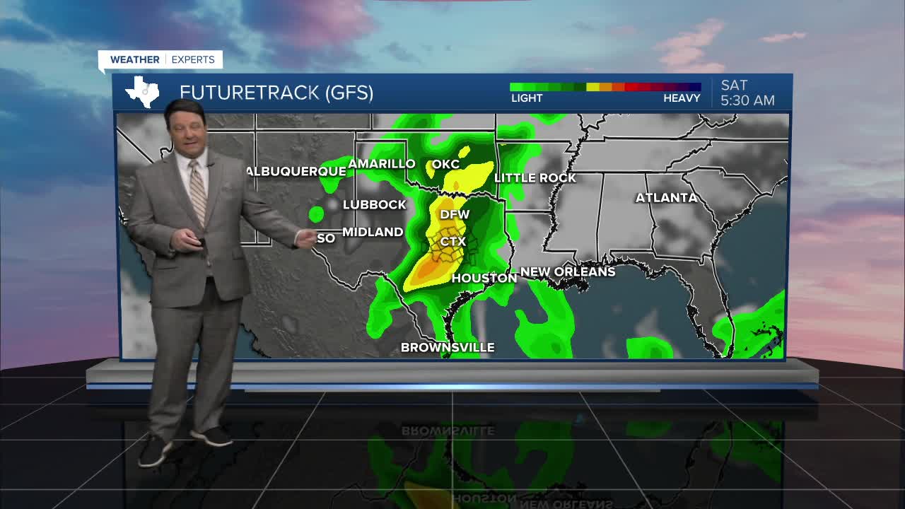
Friday looks like a decent day with increasing clouds and highs in the mid 80s. By the time we reach Friday evening, scattered thunderstorms are expected to develop across the area. The rain is expected to become more widespread Friday night into Saturday morning. We may see lingering showers into Saturday afternoon. Right now, 1-2 inches of rain looks possible, with locally higher amounts. Saturday should be cooler with highs in the mid 70s. Our storm system should exit the area Sunday with highs back in the low 80s.
Next week will start off warm with highs Monday and Tuesday in the 80s. Our next cold front will arrive sometime Tuesday afternoon or evening the way it looks right now. This will usher in much cooler air for the rest of the week with highs in the 70s and lows in the 40s and 50s Wednesday through Friday!
