

CENTRAL TEXAS — Central Texans are waking up to a humid and mostly cloudy morning. Dew points and temperatures in the upper 60s are making for a muggy wake up. Temperatures will climb into the low 80s.
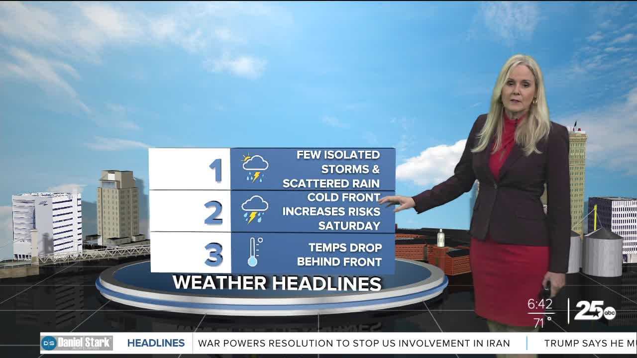
Some scattered showers and isolated storms will make their way through Central Texas ahead of Saturday's cold front. The chances for severe weather on Friday have lowered. A warm layer of air a few thousand feet high, called a cap, may prevent severe storms from developing. If a storm can break through that cap, then severe weather with large hail and strong winds is possible.
For Saturday, the cold front passes through our area very quickly. We will see thunderstorms develop in the morning and a line of storms around lunchtime into the afternoon. These storms could produce hail and strong winds. An isolated tornado can not be ruled out but those chances remain low.
Saturday's cold front arrives from the northwest and travels southeast through our area. The Brazos Valley will likely be most affected in the afternoon with the strong line of storms that develop. Hail and strong winds are plausible. Tornado potential is low.
Temperatures will plummet behind the front, dipping into the 50s and 60s. Intermittent thunderstorms will linger Saturday night into Sunday morning.
Want this forecast delivered to your inbox each morning? Sign up for the daily forecast email newsletter here.
