

25 EVENING WEATHER — We saw a pretty good freeze and frost for parts of Central Texas last night, but we should stay above freezing tonight. With that said, lows will still be in the 30s with wind chills in the upper 20s by morning. Wednesday will bring increasing clouds and mild conditions. Highs will warm into the mid 60s with a south wind at 10-20mph.
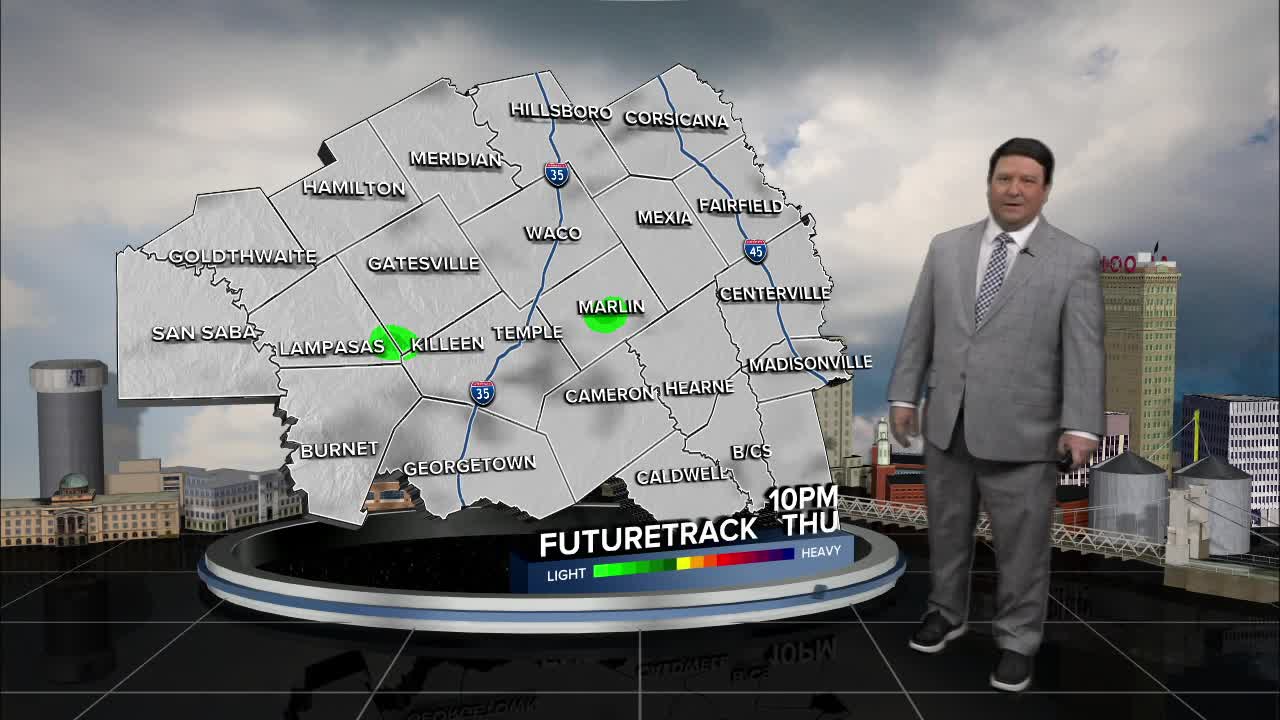
Our next storm system is expected Thursday. Showers will start in the Brazos Valley Wednesday night, but we should see more showers develop during the day Thursday across all of the area. The highest rain totals will be in the Brazos Valley, but we should see something for most locations. The clouds and showers Thursday will bring highs back down into the 40s.
Showers will come to an end early Friday with mostly cloudy skies. It will be a little warmer, but highs are only expected to get into the mid 50s Friday afternoon. The weekend looks much nicer with partly cloudy to mostly sunny skies. Highs Saturday could be close to 70°, but another front will bring us back into the low to mid 60s Sunday.
