

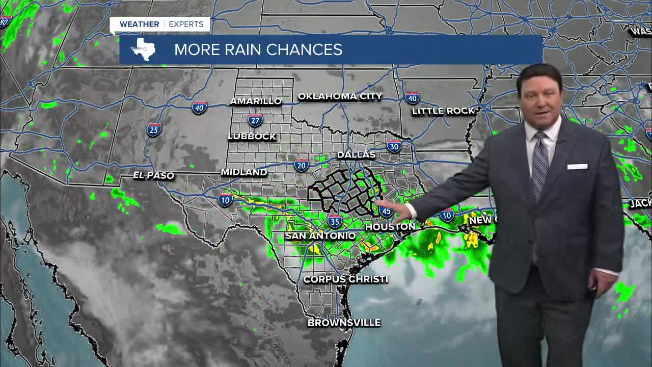


25 EVENING WEATHER — More wet weather is likely for Central Texas and the Brazos Valley Wednesday as a storm system slowly lifts north from southwest Texas. The heaviest rain will be in the Hill Country and southwest Texas. This is where major flooding is likely, especially west of Austin and San Antonio. For us, we will see waves of scattered showers and storms. It won't rain all the time at any one location, but pockets of heavy rain are likely through Wednesday afternoon. If you come to an area where water covers the road...Turn Around, Don't Drown. Lows tonight will fall into the low to mid 70s, with highs Wednesday in the mid 80s.
Thursday and Friday may bring additions scattered showers and storms, but they shouldn't be as widespread. Locally heavy rain will still be possible anywhere storms develop with highs in the upper 80s.
Drier weather is expected this weekend and next week as the heat dome starts to push closer to Texas once again. Highs will return to the mid 90s with lows in the 70s.
Want this forecast delivered to your inbox each morning? Sign up for the daily forecast email newsletter here.
