

25 EVENING WEATHER — Thankfully the air mass was dry Thursday with highs in the upper 90s to near 100°. That won't last because the humidity will return Friday as south winds take over. That means lows to night won't be as cool in the mid 70s. Highs Friday will make it into the mid to upper 90s once again, but we should have increasing clouds Friday afternoon ahead of a cold front. This front is now looking much faster, so it will arrive Friday evening. There could be a couple of isolated storms with the front. The main effect will be gusty north winds and cooler temperatures moving in as we head into the weekend.
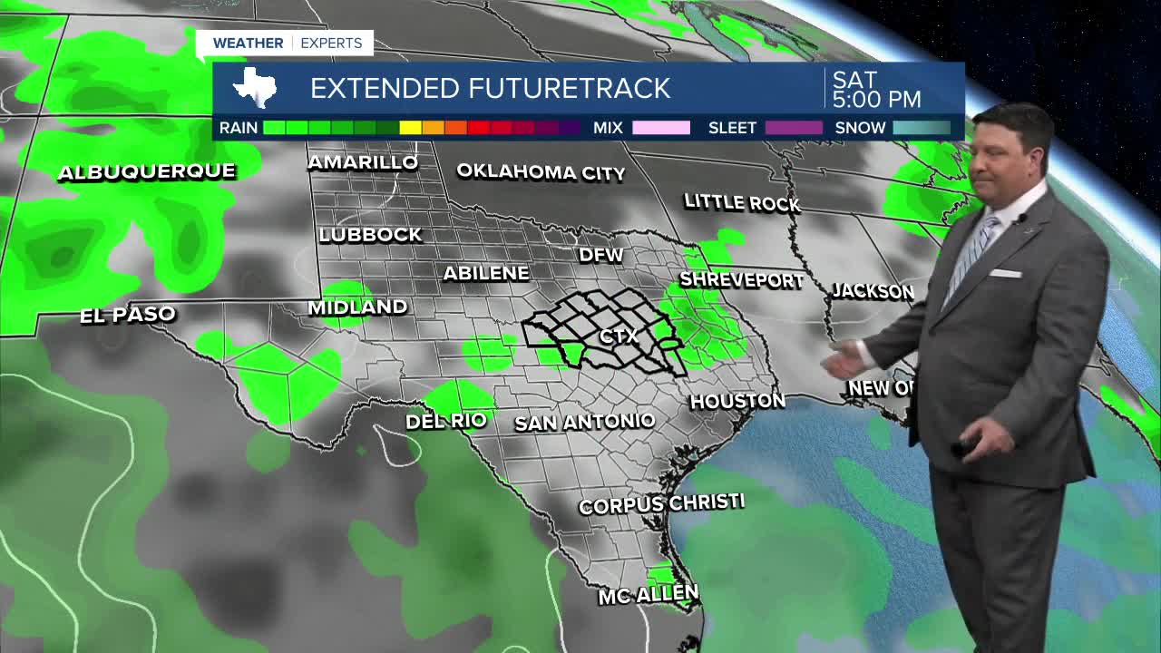
There has been a change to the weekend forecast. Lorena in the eastern Pacific is expected to stay farther west. That means mid and upper level moisture is not expected to be as high. Also, with the faster front, it appears the best convergence for rain and storms will be in south Texas this weekend. With that said, there still could be a few showers around Saturday and Sunday, but amounts look much lighter. Highs look much cooler Saturday. I dropped us into the low 80s Saturday afternoon under mostly cloudy skies. Sunday should be a touch warmer with highs in the mid 80s.
Don't get used to our "false fall" weather. Things will start to heat up again next week. A couple of showers may linger Monday with highs in the upper 80s. It's back to the 90s Tuesday through Friday of next week.
