

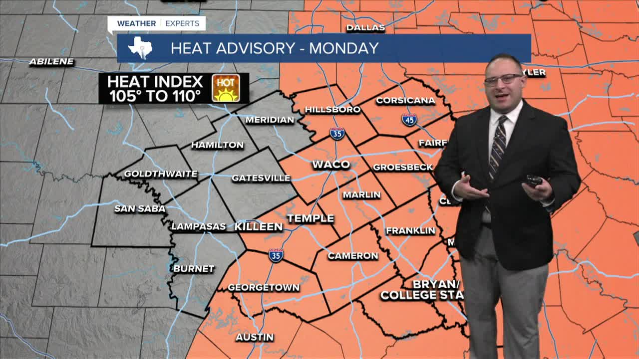


CENTRAL TEXAS — Sunday's high temperature hits 100 degrees marking the 9th day in a row this month, and 45th day overall at 100 and above. The mid-September outlook remaining this hot for the week ahead unfortunately. Heat Advisories issued for the I-35 corridor of counties and all locations eastward in Central Texas for Monday. This because the heat index, or feels like temperature, will be around 105-108 degrees in the afternoon.
The high heat and triple digit temperatures are expected through at least Wednesday, but ease very slightly late week into the upper -90s.
A few weather models continue to hint at a cold front passage around September 21st. This has been a trend in the long term forecast models for a couple days, but we're still eight day out, so it's hard to say for certain if this will actually happen, or if the summer heat dome and ridge will prove to win out again. I'll split the difference from a forecaster's perspective and put a 20% chance of rain and highs in the mid-90s for that Monday, Sep. 21st. But I will not yet put highs in the 80s like some models suggest, that I believe is far too optimistic considering the strength of our Summer Heat Dome the past month-and-a-half.
- 25 News Meteorologist Thomas Patrick
Want this forecast delivered to your inbox each morning? Sign up for the daily forecast email newsletter here.
