

25 EVENING WEATHER — Scattered showers and storms formed across Central Texas Thursday afternoon. These slow moving storms will likely last into the evening hours, but we should see a decrease in activity after midnight. The severe weather threat is low, but heavy rain and lightning are likely in and around storms. Lows will fall into the mid to upper 60s.
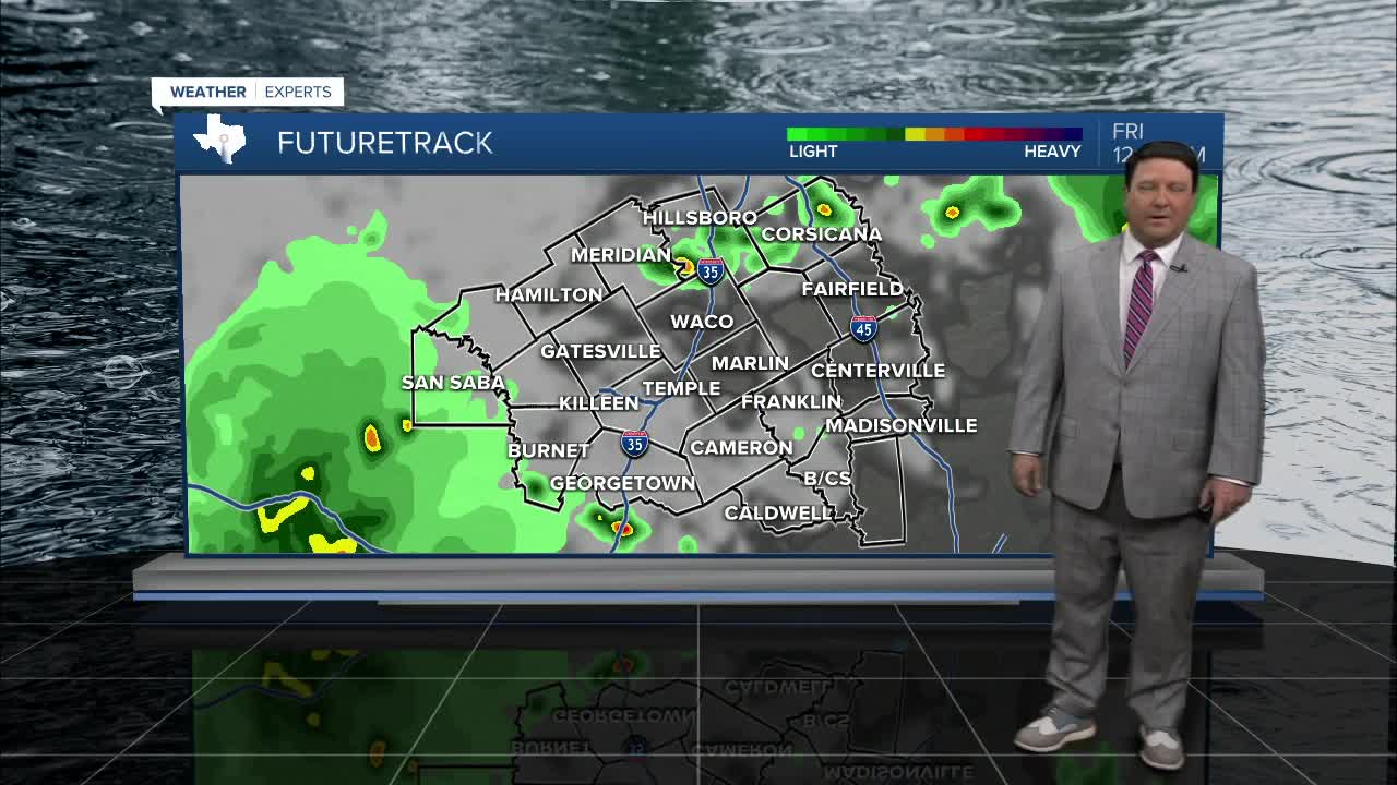
Friday should bring lower rain chances since we will between systems. There still could be a few pop up storms here and there with warmer highs in the mid 80s.
Memorial Day Weekend will bring more rain chances, but it won't rain out all your plans. The highest chance of rain will be Saturday as another disturbance moves over Central Texas. Highs should be a bit cooler than Friday in the low 80s. Sunday and Monday, rain and storm chances decrease quite a bit, down to 30%. Highs will be in the mid 80s both days with lows near 70°. Any storms over the weekend may produce heavy rain and lightning, but the overall severe weather threat looks low. You will still need to watch for gusty winds in and around storms if you are headed out to area lakes.
Want this forecast delivered to your inbox each morning? Sign up for the daily forecast email newsletter here.
