

CENTRAL TEXAS — Central Texans will experience mostly cloudy skies today with a breeze arriving from the south. Some light rain will flee across the area this morning. No significant amounts of rain are expected, but we can't rule out an isolated storm.
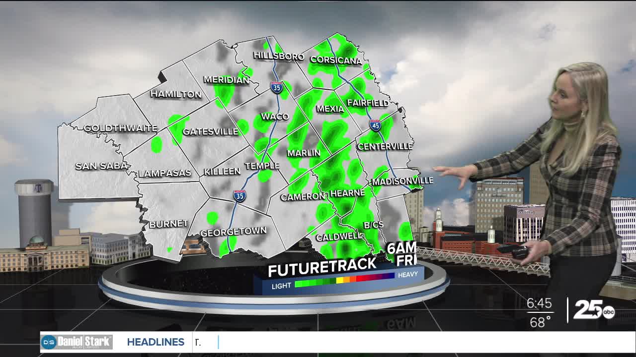
As we move into Friday, rain chances increase but stay on the lower end. If the storms do break free we could see severe weather in the afternoon. If we do have strong isolated storms there is a threat for hail and strong winds and we can not rule out a tornado.
The best opportunity for rain is this weekend. At this point, the models are trending toward the heaviest rain arriving Saturday into Sunday morning. Flash flooding could be an issue so it is important to pay attention to the forecast. The latest run of precipitation models are trending downward, but we could see up to two inches in some areas. Any rain is appreciated as Central Texas is currently experiencing a drought. The Brazos Valley will remain on the dryer side through Saturday, with the majority or rain coming Sunday. The Brazos Valley is the driest area of Central Texas. The latest models are predicting around an inch.
Want this forecast delivered to your inbox each morning? Sign up for the daily forecast email newsletter here.
