

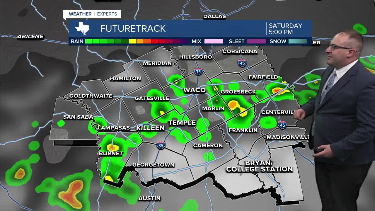


CENTRAL TEXAS — Today was another hot one, with a high of 98. That means every day this week was between 98 and 100 degrees in Waco. A few scattered storms got to Snook and Grosebeck thanks to the Gulf's Sea Breeze. That should be active again Saturday and Sunday, meaning scattered or isolated thunderstorms for not only the Brazos Valley, but locations as far north as Highway-84, including Waco. Temperatures will be in the mid-90s.
Next week, a cold front dips in from the north and will be the focal point for more widespread rain and thunderstorms. Monday's rain chances are up to 60-70% and stay there Tuesday as well. Model indications put another ½ to 1" of rain for most of Central Texas, with a few spots that could go much higher due to thunderstorm downpours. That much needed change of pace will push temperatures to the mid- to upper- 80s between Monday and Wednesday. This will be our coolest days since June 17th, which was the last time it was below 90 degrees in Waco.
Spotty storms stick around Wednesday and Thursday for southern areas as the cold front ultimately fades out around I-10 as it clashes with the sea breeze. Humidity levels will be extremely high (dew points in the mid-70s) so there's plenty of moisture and fuel for thunderstorms to be present most of next week. Mid-July will be interesting if the scattered storms stick around nearby, or if the new Heat Dome to our north takes control which would want to put temperatures back into the 100s.
- 25 News Meteorologist Thomas Patrick
Want this forecast delivered to your inbox each morning? Sign up for the daily forecast email newsletter here.
