

CENTRAL TEXAS — It's just another muggy Monday. Not quite the famous 80s song, but since high temps will teeter around 90, we can be a little off on the title. Expect to wake up with temps in the low 70s. Decreasing clouds and a light southerly wind flow will allow for temperatures to reach around 90 degrees.
Those hot, breezy and humid weekend conditions we experienced this past weekend, will drag into the first part of the work week. Dew points set up camp in the low 70s on Monday, which will create a rise in the much despised muggy meter of Central Texas. So although it technically spring, it will feel like summer as the heat index rises to the mid 90s.
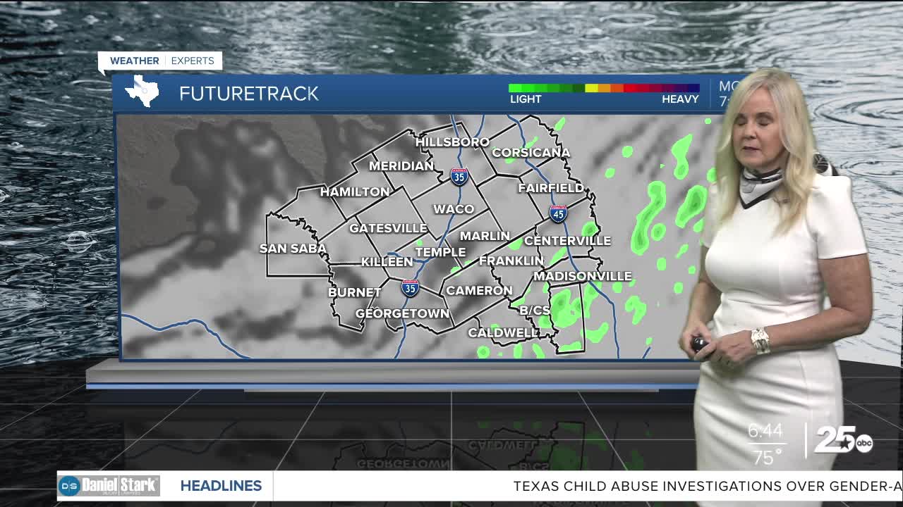
On Tuesday, we have a small chance of a scattered showers ahead of a weak cold front. This past weekend, we escaped severe weather due to a strong cap, and all the action mostly hitting to the northwest of the Fort Worth/Dallas area of Texas. At least two people lost their life and 20 families were displaced from a high grade EF2 tornado that ripped through Runaway Bay. Another reminder that when there are low chances of severe weather in April and May, if thunderstorms do break through the cap of warm air, then they can be quite explosive and produce severe weather. Expect a hail event if thunderstorms develop Tuesday.
By the time we get to Wednesday a weak cold front will drop temperatures to the 80s. Then a stronger front will arrive Thursday to cool us down to the 70s and by the weekend we will see below average temperatures in the upper 60s. Our rain chances increase daily with our highest chances on Friday, before we cool off and dry out for the weekend.
Want this forecast delivered to your inbox each morning? Sign up for the daily forecast email newsletter here.
