

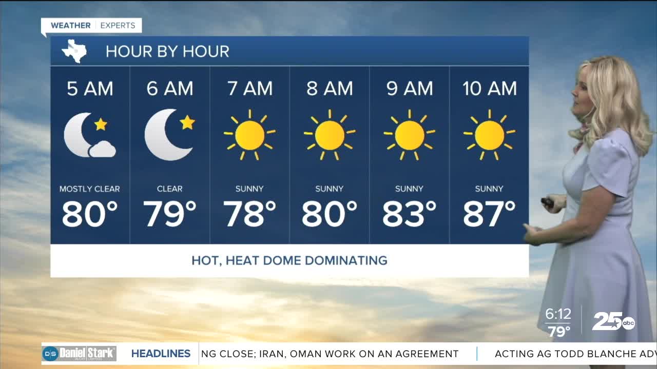


CENTRAL TEXAS — Wednesday to hit 100 degrees again. Dew points will rise to the mid 60s which will make the feels-like temperature around 103. The heat dome is dominating our weather pattern keeping high temperatures in place. There is a wee chance for some rain to enter Central Texas primarily in the eastern areas near I-45. This is courtesy of the Gulf sea breeze. If rain does make it through it would be very little and quick lived. Some areas of the Brazos could get a sprinkle, but again, it's a small opportunity. This could develop for late Thursday afternoon as well.
Temperatures will begin to dip to the double digits Thursday and into the weekend. However, the humidity will rise so the feels-like temperature will remain between 102 and 104 degrees. This will lie just below the threshold of a heat advisory but residents should remain hydrated and take cooling off breaks if working outside.
The best chance of rain will come Friday due to the sea breeze. This will primarily be in the Brazos Valley. We have marked a 20% opportunity for the forecast. As we move into mid August, we can expect to see very little opportunity for rain and continued temperatures near or above the triple digits.
Want this forecast delivered to your inbox each morning? Sign up for the daily forecast email newsletter here.
