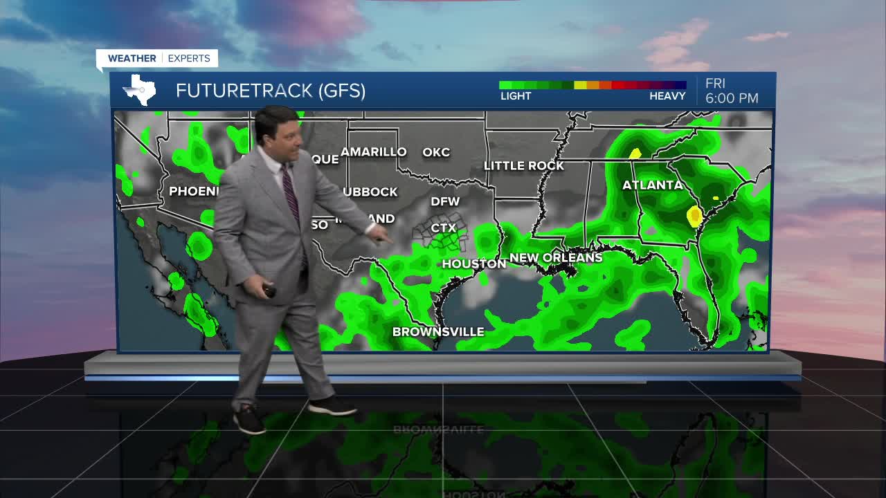


25 EVENING WEATHER — Scattered showers and storms will come to an end this evening with the loss of daytime heating. Lows will fall into the low to mid 70s. Friday looks hot and humid, but we still may bake out a few isolated to widely scattered storms during the afternoon hours. Highs will make it into the mid 90s with heat index values over 100° outside of any rain areas.
This weekend is looking hot! There could be a few isolated storms in the Brazos Valley Saturday, but most areas will be drying out. Highs will make it into the upper 90s both Saturday and Sunday. Heat index values should climb close to 105°, so heat advisory criteria may be met, especially Sunday.
Next week is a wait and see on how the overall pattern shakes out. Monday looks hot with highs in the upper 90s. A cold front will be on approach Tuesday into Wednesday. Areas from Oklahoma, north, should see a significant cool down. The question for us is, how far south does the front get? The models keep going back and forth with placement, so this is going to be a tricky forecast. We need to get our hi-res models in on this pattern, but that will not happen until next week. Right now I am playing the middle ground with highs in the upper 80s and low 90s by the middle part of next week. There could be a few shower and storms chances to go along with the front as well. Stay tuned...
