

25 EVENING WEATHER — It won't be as cool tonight across the region as southerly winds bring moisture and clouds back as we head into Thursday morning. Lows will still be mild in the low 60s. Thursday will bring a mix of clouds and sun with warm highs in the upper 80s. The record high Thursday is 90° from last year, so a few folks could get close to that record.
Friday is when the bigger changes start to arrive. We will start off mostly cloudy and dry Friday morning. As our next storm system gets closer, scattered showers and storms are expected to develop by the late afternoon and evening hours. Highs should be a little cooler in the low to mid 80s.
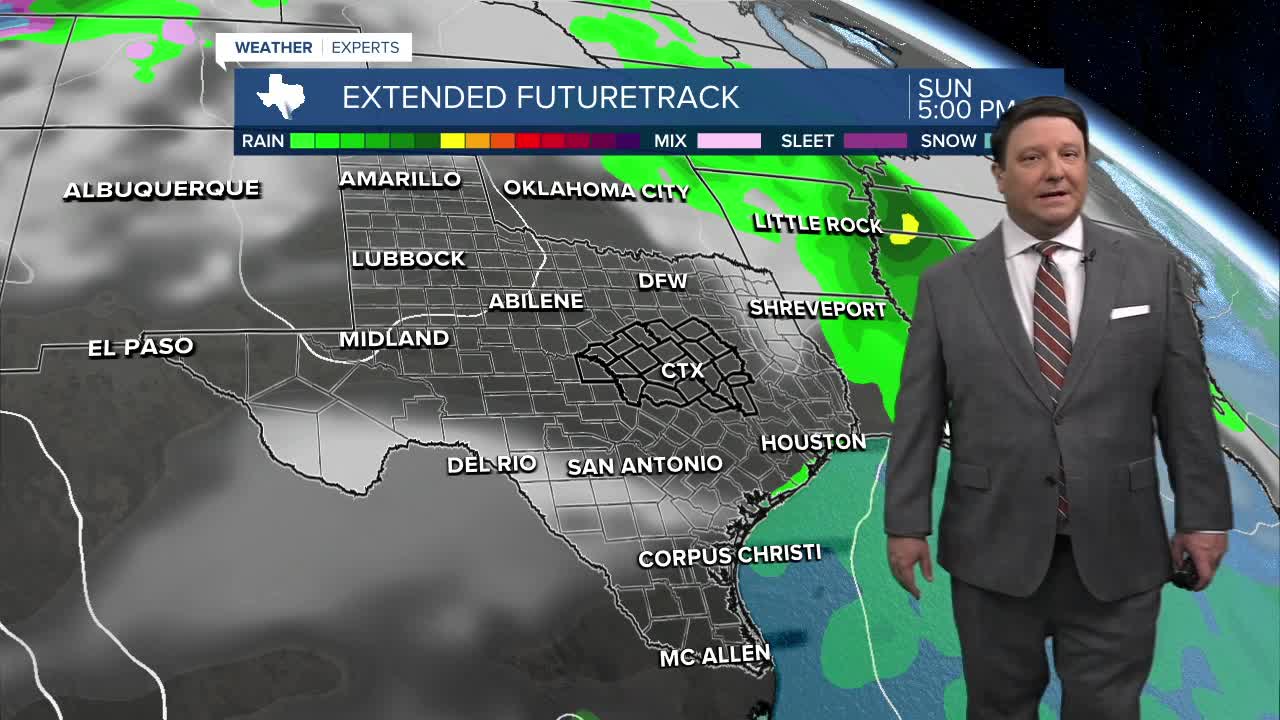
This weekend will be a tale of two days once again. Saturday looks wet, with highs in the low to mid 70s. The best chance of heavy rain will scoot through early Saturday morning. If all goes right, we could see widespread 1-2 inch totals with locally higher amounts. I can't rule out a strong storm or two with small hail and strong winds, especially Friday night into early Saturday morning. Our storm system will move east Sunday, ending rain chances. Highs should be back around 80° Sunday afternoon under mostly sunny to partly cloudy skies.
Next week, a stronger cold front is still slated to arrive late Tuesday into Wednesday. This should bring a nice change to fall weather as we head toward Halloween.
