

CENTRAL TEXAS — A hot, humid and breezy day will kick off heading back to work.It's a windy start with sustained breezes 15 to 20mph and gusts reaching up to 35mph, the wind will help alleviate some of the humid conditions. Dew points are hanging out in the 70s again, so it will feel quite humid and similar to Sunday's conditions. Rain chances remain low for Monday, but some areas could see light rain or sprinkles.
The cloudy skies will gradually decrease, making way for blue skies to peak through. High temperatures will be in the upper 80s but the dew points will make it feel like the mid 90s in the afternoon.
The big change comes Tuesday as a cold front makes its way through Central Texas. The morning commute should be without incident, as I believe the system will arrive in the afternoon, and the brunt of it arriving late. I recommend tossing the umbrella in the back seat, as the drive home could be a drencher. With the rain present in the afternoon, it will be a bit cooler with highs in the mid 80s on Tuesday. Wednesday morning will likely be a rainy drive depending on how fast the front moves through.
The good news is the opportunity for severe weather remains pretty low. Tuesday's front will also bring overall cooler conditions beginning mid-week. Wednesday's high will teeter around 80 and I expect us to dip to the upper 70s Thursday. Along with cooler temperatures comes additional rain chances after the front. Everyday this week there is a possibility for precipitation and it is certainly needed as we get closer to the dry months of summer. The east side of I-35 and the Brazos Valley are the driest areas in Central Texas.
The isolated storms that do pass through this week should not pose too much of a risk for severe weather, but I will be keeping an eye on the ingredients. If severe weather does develop we are looking at more of a wind or hail event but flooding isn't out of the question. We could see between two and four inches of rain Tuesday through Friday.
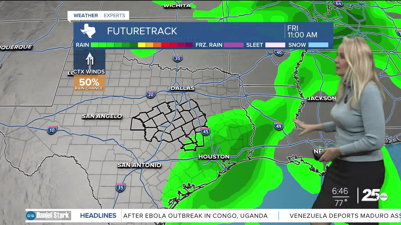
At this point it looks as though we will continue with much needed rain on and off throughout the week. It will not be widespread but most areas will see at least a little beyond the Tuesday's front. Temperatures will remain warm in the mid 80s into the weekend.
Want this forecast delivered to your inbox each morning? Sign up for the daily forecast email newsletter here.
