

25 EVENING WEATHER — Summertime is in full effect around here, and that will continue through Friday. Tonight will be mostly clear to partly cloudy with lows in the mid 70s. Thursday is looking hot with highs in the mid to upper 90s! Friday will remain hot as well with highs reaching the mid 90s as a cold front gets close to Central Texas.
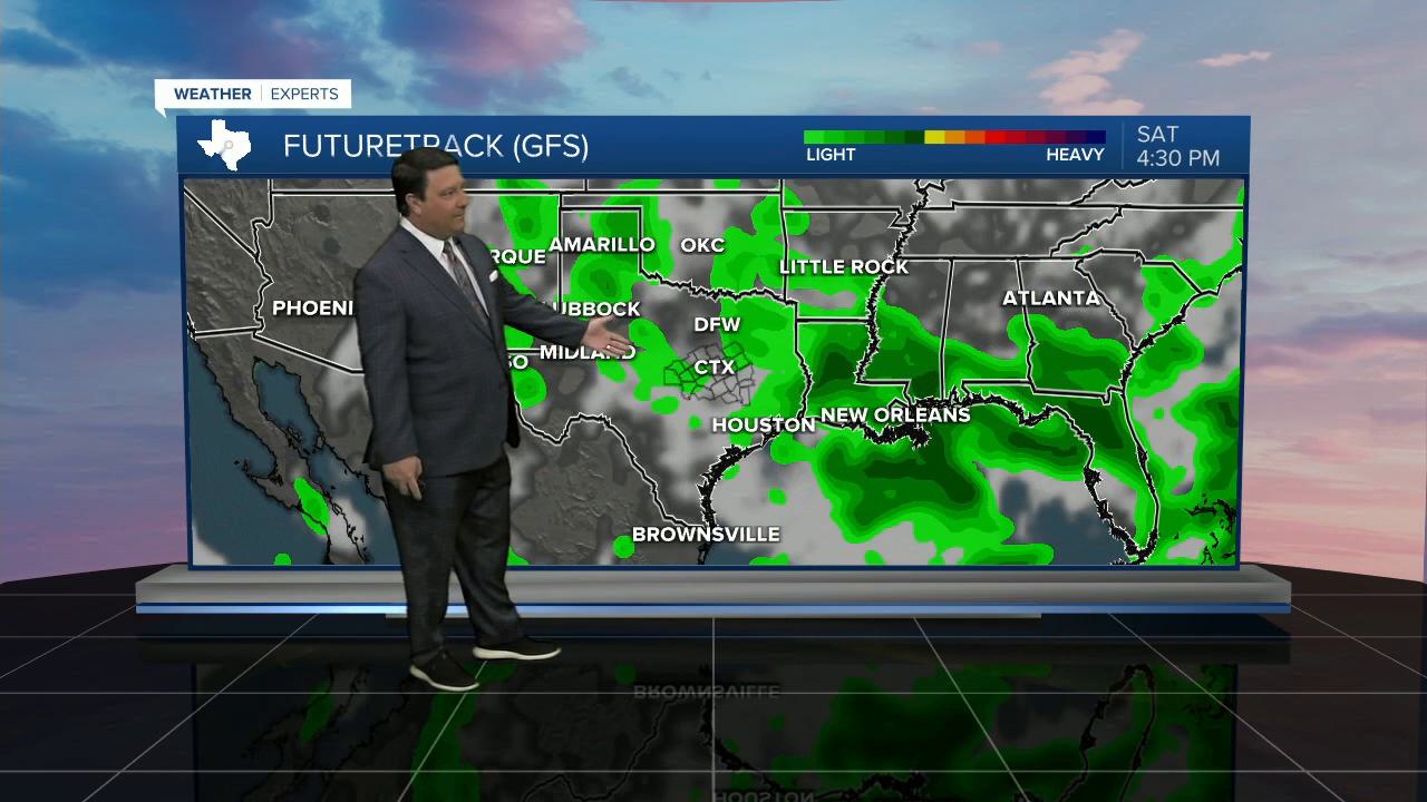
Things will start to change late Friday afternoon and evening on into the weekend. There is still A LOT of model uncertainty with regards to the strength of the weekend front. Since it's late August, we are going to favor climatology and edge closer to the warmer side of things. With that said, I still think there will be a noticeable difference Saturday and Sunday with highs mainly in the mid to upper 80s. If any rain area becomes more widespread, or if clouds are thicker, then some places could be even cooler. Right now it looks like the best chance of scattered activity will be Friday evening and Sunday. Saturday still could bring a few storms, but again, that will all depend on the placement of the front. Stay tuned!
