



CENTRAL TEXAS — Another hot afternoon with a mixture of high clouds and sunshine is on tap for Thursday. High temperatures should fall just below 100 degrees. The last few afternoons we have managed to see some late pop-up storms develop across Central Texas and the Brazos Valley. Although we can't rule out that happening again, the chances are significantly less as drier air moves in. The positive side is the humidity should drop a little Friday and Saturday. The next best rain chance arrives Sunday as a boundary approaches. Our forecast calls for 30%.
Next week we have a welcome pattern shift in the weather. We could experience more precipitation and temperatures closer to normal. We have had significantly higher temperatures thus far in September. A cold front should make its way to Central Texas and give us some much needed rain. Most of the area is under a moderate to severe drought. We can expect rain chances to arrive Tuesday and kick up into Wednesday. We could get a little on Thursday as well. There's a decent chance temperatures could drop to the low 90s and maybe even the upper 80s late next week.
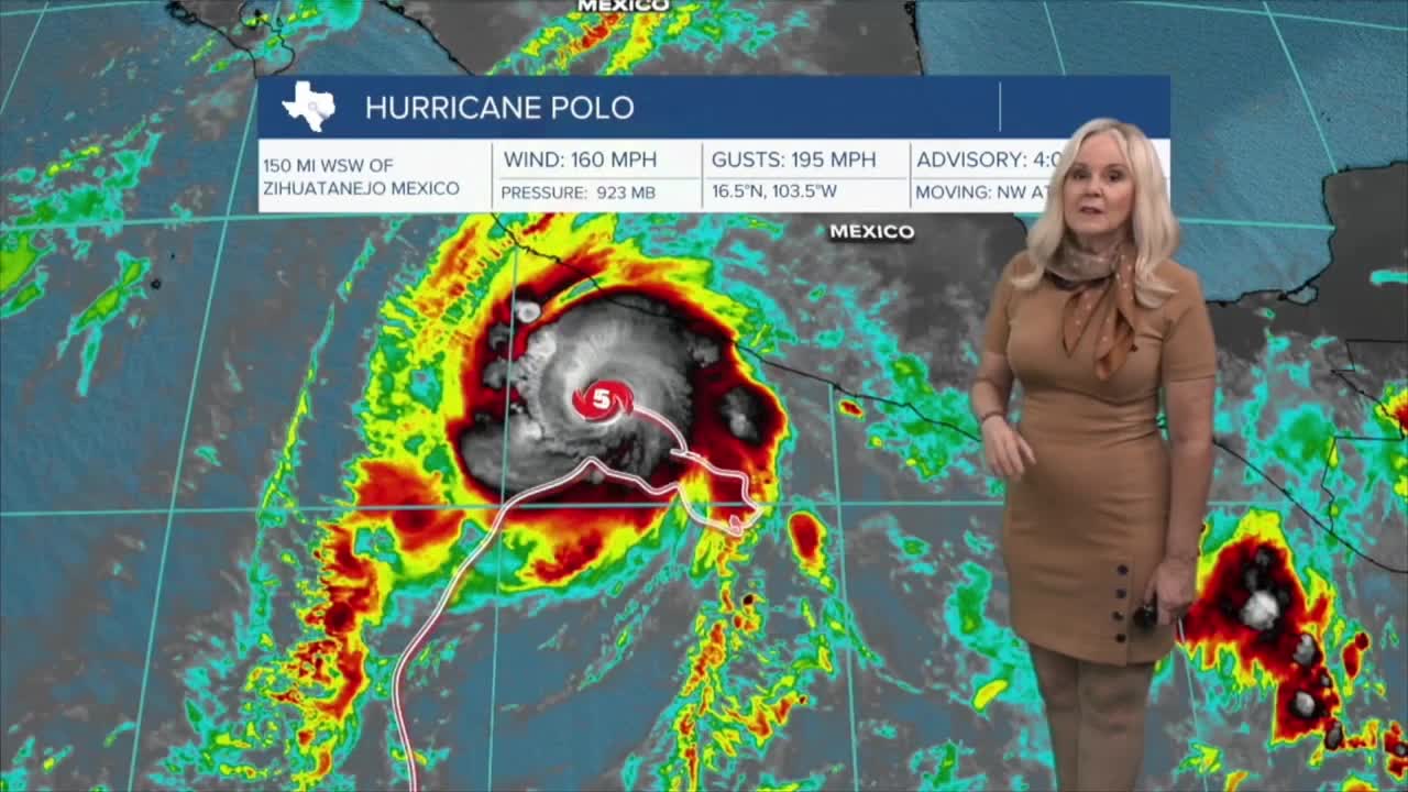
In the tropics, a disturbance off the coast of Africa has a 60% chance of tropical development. Meanwhile, in the Pacific, Hurricane Polo has restrengthened into a powerful category five hurricane off the southern coast of Mexico. As it moves toward Baja California it could bring additional moisture our way and help bring rain chances into fruition next week.
Want this forecast delivered to your inbox each morning? Sign up for the daily forecast email newsletter here.
