



CENTRAL TEXAS — We are ending August like its August — hot! We will again have temperatures reaching the triple digits, expect the high to reach 102 degrees.
The good news is the dew points will drop to the mid 60s at the peak temperature time. This will bring the heat index close to the air temperatures.
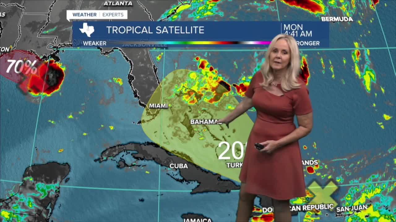
However, Tuesday is a different story. How hot it gets will depend on cloud cover from the tropical system brewing in the Gulf. Invest 97-L is highly likely to become a tropical depression and possibly Tropical Storm Eduard. It is moving slowly about 5 mph northwest toward the Texas coastline on a path toward Houston.
It would weaken quickly once hitting land, but could bring us much needed rain on Tuesday and Wednesday and maybe even Thursday. Its path and intensity are still undetermined, but the current track would bring rain mostly to the eastern half of Central Texas and the Brazos Valley.
I do not expect this system to develop into a hurricane. It is more likely to become a short lived depression or Tropical Storm briefly before weakening over land.
Temperatures will likely take a dive on Tuesday, due to cloud cover and rain cooled air from this system. This would break our streak of triple digit high temperatures which have dominated August.
Central Texas remains under a moderate to high fire danger threat and the burn bans remain in effect.
