

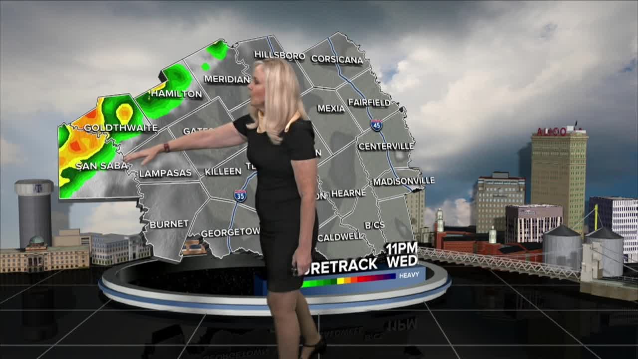


CENTRAL TEXAS — Another hot day in the 90s before the big cool down arrives. Hopefully, we can bid a permanent farewell to the summer-like temperatures and enjoy a normal fall season in October. Our first autumn cold front is arriving late this evening. A flood watch kicks off for most of Central Texas this evening. This will provide us with some much needed rain. We are about six inches under our normal rainfall for this time of the year. Add that to our expanding severe drought and a smile will appear when the rain finally arrives. However, we will be keeping an eye out for flooding as the potential is there.
TODAY: Highs in mid 90s, humid with feels like temperatures around 100 degrees. Breezy with gusts up to 35 mph ahead of the front. A few storms are possible but it will remain mostly dry. The cold front begins to enter west and northwest Central Texas late this evening.
THURSDAY: Winds and heaviest rain mainly west of I-35 in the overnight and drive time. As the morning progresses the front continues east of I-35, then reaches the I-45 corridor and the Brazos Valley. Additional rain will come in the late afternoon and evening, behind the main line. High temperatures drop to the mid 80s. Highest accumulation will likely be in the northwest counties.
FRIDAY: Some heavy morning rain passing through. Cooler with temperatures in the 80s. Flood watch remains in effect in the morning.
SATURDAY AND SUNDAY: Temperatures drop to the low 80s and maybe even hit the upper 70s. It will be cooler. Lower rain chances remain in the forecast.
FLOOD WATCH: Begins late Wednesday afternoon through Friday morning. Two to four inches of rain expected. Four to six possible in isolated areas. Counties within the watch are: McLennan, Bell, Coryell, Lampasas, San Saba, Mills, Hamilton, Bosque, Falls, Limestone, Navarro, Milam, Williamson, Burnett.
Want this forecast delivered to your inbox each morning? Sign up for the daily forecast email newsletter here.
