

CENTRAL TEXAS — As we enter the holiday weekend, minding the storm chances will be important for those looking to enjoy the outdoors - like on the lake for example. So here's a fast breakdown of storm chances for the next four days...
Friday - A likely dry day-time. Some models try to spit out a storm or two in the Brazos Valley around 3-5pm, otherwise it's likely dry until 10pm to 4am (Saturday morning) with decaying thunderstorms that'll form over west Texas today.
Saturday - Likely stormy, especially around 4pm to midnight. Pop-up scattered thunderstorms will become numerous throughout Central Texas, similar to what the area experienced on Thursday.
Sunday - Storm chances are lower, only about 30%. Still a pop-up storm is possible.
Monday - Memorial Day is likely dry with just a 20% chance for a thunderstorm.
When thunderstorm chances are low, it'll be safer to get outside without interruption. But because those rain chances are not zero percent, I can't guarantee it'll be perfectly dry on any of these days. But I recommend Friday, Sunday, and Monday will be better than Saturday.
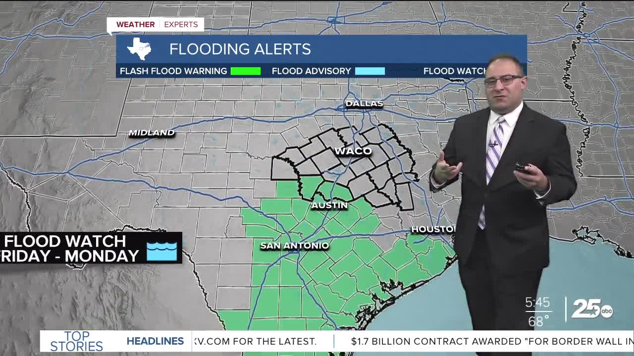
There are no severe weather chances through the weekend, but there is a Flood Watch for Burnet and Williamson counties from today through Monday... part of the greater Austin area alerts. four days worth of alerts is a bit overdone for Central Texas specifically. As highlighted above, Saturday is likely the rainiest day, as thunderstorms could drop 1-3" of rain in a single day.
- 25 News Meteorologist Thomas Patrick
Want this forecast delivered to your inbox each morning? Sign up for the daily forecast email newsletter here.
