



CENTRAL TEXAS — Hey, at least the forecast is more interesting than "hot again".
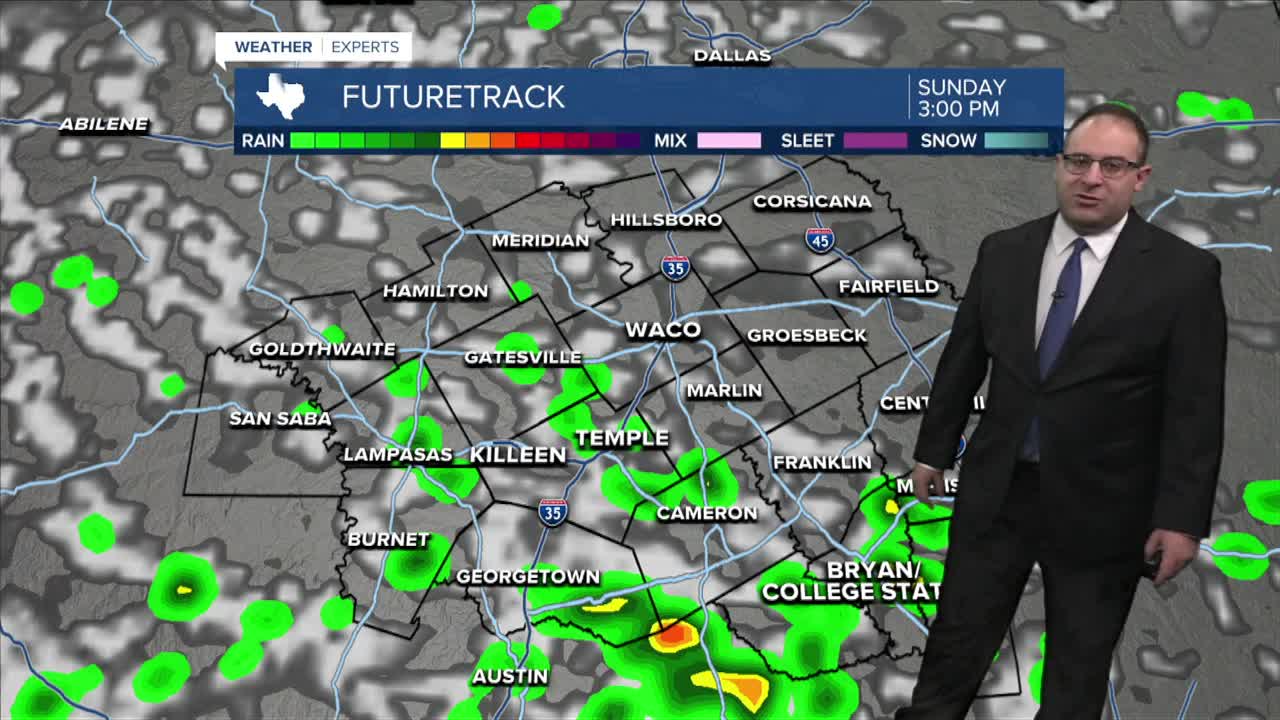
A disturbance over Louisiana moved into East Texas Saturday and produced a fair amount of scattered thunderstorms. This is still moving westward towards Central Texas with a few spotty thunderstorms developing over mainly the I-45 corridor and Brazos Valley. Around 4:30pm... a few showers were on radar in McLennan County near West, showing that there's a chance for rain, albeit a small chance. Any thunderstorms tonight could be heavy rain makers with a very small chance for flooding issue in eastern most areas.
Humidity levels stay relatively high on Sunday with high temperatures in the upper 90s. That means the heat index will end up around 105 degrees. Heat Advisories are getting re-issued for the Dallas-Fort Worth since temperatures rise into the low 100s there, heat index around 108. There's still a spotty, pop-up, thunderstorm chance on Sunday for Central Texas, mainly southern areas, if anything.
Labor Day and the week ahead it's "hot again..." Temperatures will be right around the 100 degree mark as the Summer Heat Dome still has no signs of moving. But at least it's been disrupted a couple times thanks to some tropical moisture.
- 25 News Meteorologist Thomas Patrick
Want this forecast delivered to your inbox each morning? Sign up for the daily forecast email newsletter here.
