

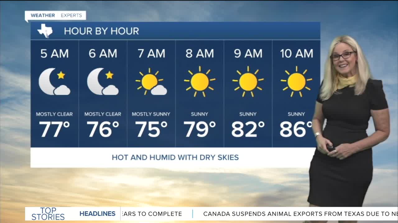


CENTRAL TEXAS — Monday will give Central Texans a good idea of what to expect all week. We are kicking off the workweek with a heat advisory from noon through 8 p.m. for McLennan, Bell, Falls, Limestone, Hill, Bosque, Navarro, Freestone, Leon, Robertson and Milam counties.
High air temperatures should peak near 100 degrees. With dew points peaking in the mid to upper 60s in the afternoon, the heat index will reach between 103 to possibly 108 in some areas. The dew points take a dip as we move to the afternoon so I believe most of us will be on the lower end of the heat index.
As we move through the week, temperatures climb. Also on the rise are the dew points, which means more humidity as the week progresses. On Wednesday I think we will get to 100 degrees. Expect it to feel like 106 degrees on Wednesday and close to that through the weekend.
Rain would be out of the picture expect we have a slight opportunity later in the week due to a tropical depression in the Gulf. Tropical Depression Two is slowly churning off the west coast of Florida and has triggered Tropical Storm watches and warnings for the Florida pan handle.
The system is strengthening and expected to become Tropical Storm Bertha this evening. It would be the second named Atlantic storm this year. Currently the system is projected to move west and hug the northern Gulf coastline. The Gulf water is plenty warm enough to fuel the storm but it will hit wind shear near Texas later in the week which will significantly weaken it. At this point the storm could at best give us a little rain, possibly in the Brazos Valley near the end of the week. We will continue to monitor it.
Want this forecast delivered to your inbox each morning? Sign up for the daily forecast email newsletter here.
