

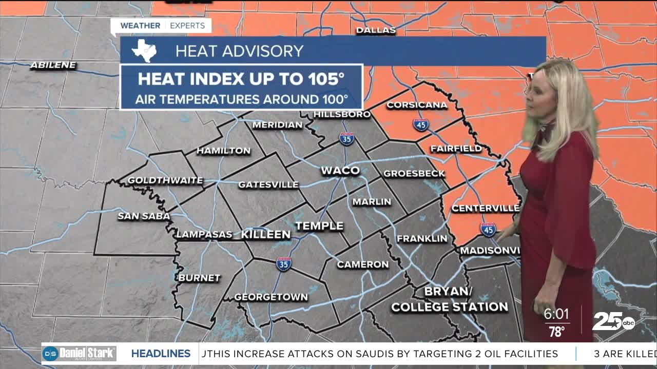


CENTRAL TEXAS — The last week of July is holding its own with temperatures expected to rise just above the average for this time of the year. High pressure and the classic Texas heat dome are dominating the weather headlines as we finish off July.
Most of Central Texas is teetering around 100 degrees for Monday's high. Moderate humidity is kicking up the feels-like temperatures to about 104 degrees around the I-35 corridor. Our western counties will feel a few degrees cooler and experience slightly less humidity.
Our far eastern counties of Navarro, Freestone and Leon will be the hottest. The feels-like temperatures is expected to rise to 106 degrees, which has triggered a heat advisory through 8 p.m. for those counties.
Southerly wind flow and dominant high pressure ridging will move us through the workweek with temperatures remaining near or above the 100 degree mark. A slight shift in the pattern comes toward the end of the week as high pressure moves west toward the desert regions and allows for a cold front to push further south. This would allow for more moisture to return to the atmosphere and drop the temps into the mid to upper 90s.
Rain chances remain slim but we could see a little this weekend. The Brazos Valley would likely have the best opportunity although it would remain low at this time in the forecast.
Want this forecast delivered to your inbox each morning? Sign up for the daily forecast email newsletter here
