

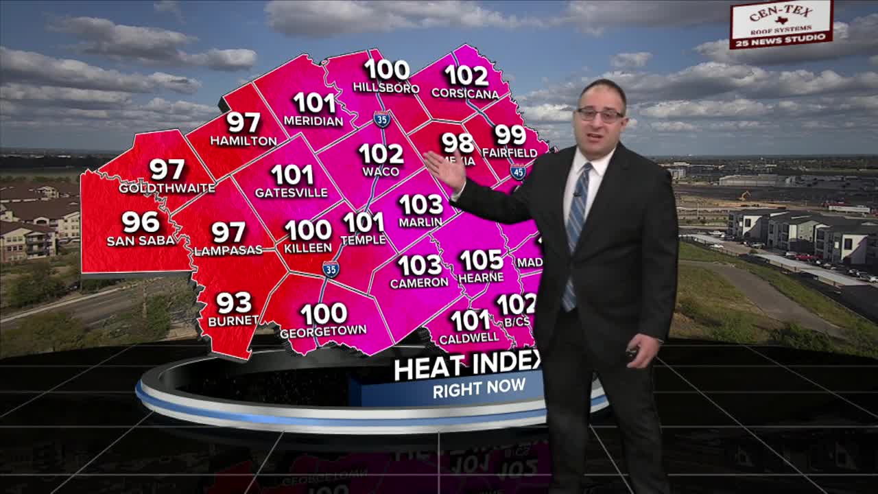


CENTRAL TEXAS — A very sticky and humid day for Central Texas as dew points stay in the low- to mid- 70s... accompanied by temperatures in the mid-90s. That makes the heat index, or feels-like temperature, around 104 degrees at its peak today. The humidity will be a focus for Wednesday as well.
Temperatures stay in the low- to mid- 90s on Wednesday with the heat index still pushing triple digits. Meanwhile, the sea breeze will be more active on Wednesday for Central Texas, resulting in a few pop-up summer-like showers and thunderstorms.
Meanwhile, a powerful cold front is forming over Utah and Arizona. This is going to march towards and through Central Texas on Friday. When that happens, we may get a few light showers early Friday morning before a cooler, drier, and windier day. Wind gusts could rise around 25 to 40 mph. This is what quickly ushers in cooler and drier weather. Temperatures on Friday should be in the mid- to upper- 70s.
The weekend will be cooler, with highs in the 70s both days and, more importantly, Saturday night and Sunday morning could be "cold" for some. The forecast low in this time frame is 52 degrees, and I wouldn't be shocked to see some in the upper- 40s early Sunday morning.
- 25 News Meteorologist Thomas Patrick
Want this forecast delivered to your inbox each morning? Sign up for the daily forecast email newsletter here.
