

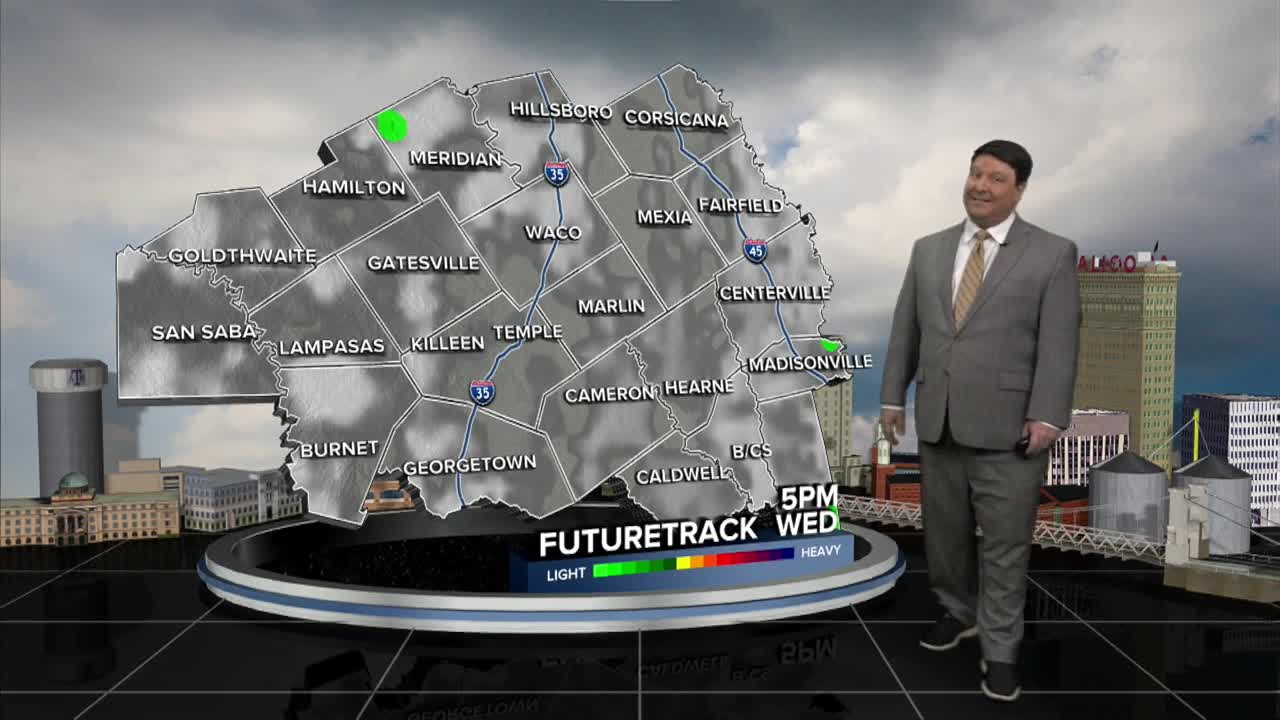


25 EVENING WEATHER — A Flood Watch is in effect for the western half of Central Texas, likely through Friday. 2-4 inches of rain, with a few totals over 5+ inches possible. Cooler temperatures are on the way as well.
TONIGHT: Increasing clouds with lows in the mid to upper 70s.
WEDNESDAY: We should be relatively quiet through the day under mostly to partly cloudy skies. It will be hot with highs in the mid 90s. A few widely scattered showers and storms will be possible late in the day, especially west of I-35.
WEDNESDAY NIGHT INTO THURSDAY: Rain chances will pick up from west to east by Thursday morning. Locally heavy rain is possible throughout the day. Lows will be in the mid 70s with highs in the mid 80s Thursday afternoon.
THURSDAY NIGHT INTO FRIDAY: Rain and thunderstorms will continue with a locally heavy rain threat. We should see the heavy rain move south Friday afternoon, but showers are still possible throughout the day. Lows will be in the low 70s, with highs in the low 80s Friday afternoon.
THIS WEEKEND: Showers are possible Saturday, but we should see rain chances taper off Sunday. It should feel a bit more like fall with highs in the upper 70s Saturday and around 80° Sunday.
Want this forecast delivered to your inbox each morning? Sign up for the daily forecast email newsletter here.
