

25 EVENING WEATHER — Things are looking soggy across our area through the end of the week. Heavy rain looks likely Thursday night into Friday.
Tonight will bring isolated storms this evening, but many of us will just get areas of drizzle as we head into Thursday morning. It will be cool behind out cold front with lows in the low 60s.
Thursday should be another cooler day with highs in the upper 60s. A few scattered showers and storms look possible throughout the day as the clouds hold tough.
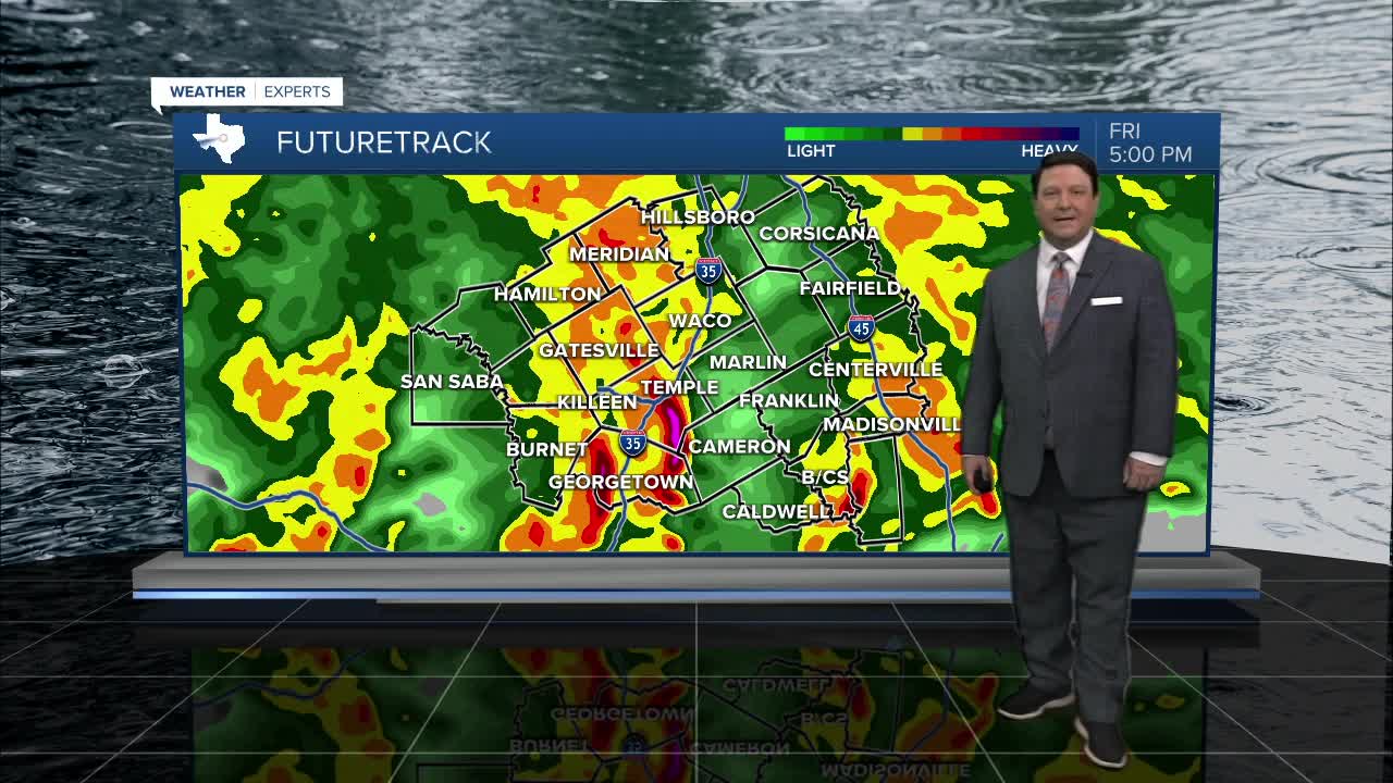
Thursday night into Friday, the main storm system will roll across Texas. Right now, it appears Central Texas will have the best chance to receive heavy rain. Severe chances look low since we will be behind a cold front that will settle down into south Texas. Waves of rain and storms are expected all day Friday with chilly temperatures in the 50s and low 60s. We are forecasting an official high of 60°. If this happens, this will break the coolest record high for May 1st which is 62° from 1966.
The rain and storms should clear the area Friday night. That means we will have more sunshine this weekend as we begin to dry out. Highs will be near 70° Saturday and in the mid 70s Sunday. Both of those forecast highs will be below normal for early May.
Want this forecast delivered to your inbox each morning? Sign up for the daily forecast email newsletter here.
