

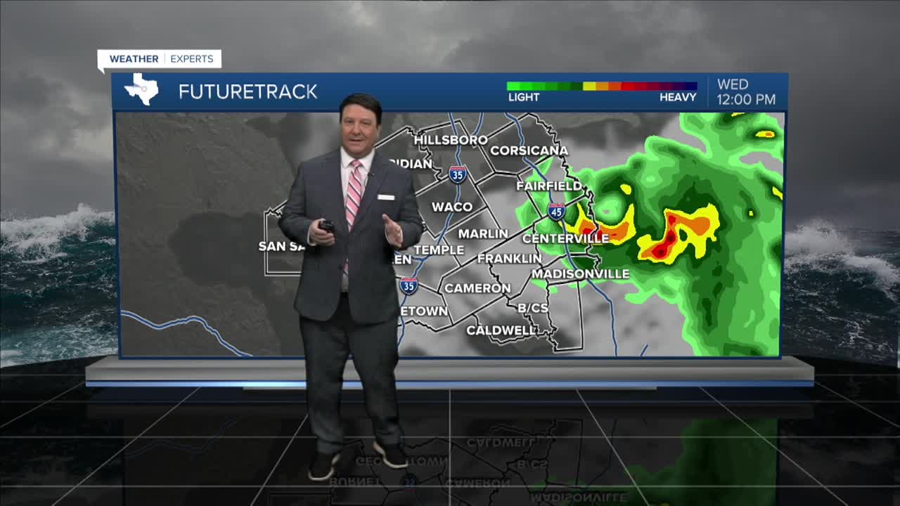


25 EVENING WEATHER — Tropical Storm Edouard made landfall Tuesday afternoon at 2:20PM CT just east of Sabine Pass, Texas. This system is expected to move northwest, but it looks to be a little farther east than yesterday's model runs. That means the heaviest rain will be along and east of I-45. The piney woods of east Texas should see the most rain where 4-8 inches could fall. Near I-45, 1-3 inches of rain is possible, with locally higher totals.
Tonight looks quiet with increasing clouds and lows in the mid to upper 70s. Wednesday, the best rain chances will be in our far eastern counties from Fairfield to Madisonville. Otherwise, we will see partly cloudy skies with scattered showers and storms along and east of I-35. Areas west of I-35 will likely be dry. Highs will be in the 80s east, 90s central, and around 100° west.
Thursday, a few more scattered showers and storms look possible along and east of I-35. Temperatures will be in the low to mid 90s Thursday afternoon, but it will likely be cooler east and hotter west.
Friday into the holiday weekend should bring warming temperatures once again as Edouard leaves the area. Highs Friday should make it into the mid 90s, but the upper 90s to near 100° temperatures should be back Saturday through Labor Day Monday.
Want this forecast delivered to your inbox each morning? Sign up for the daily forecast email newsletter here.
