

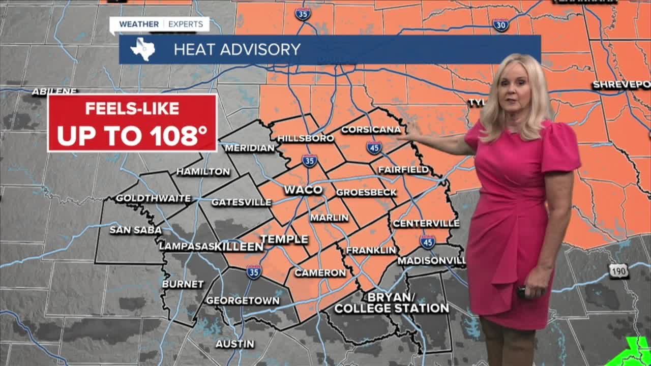


CENTRAL TEXAS — The heat dome continues to dominate Central Texas. As many residents head back to work they will find sweltering temperatures waiting for them at lunchtime. The heat advisory has been expanded to include the I-35 corridor and additional counties to the east. With a high of 101 degrees expected in Waco, and near that in Temple and Killeen, it's only fitting that the heat index will reach 105 degrees. Some areas could feel as hot as 108 so remember to stay hydrated. Our western counties have drier air and are more likely to have heat indices a few degrees lower, just under the heat advisory criteria, but nonetheless feeling very hot.
In the Brazos Valley today, the high resolution models are picking up on the potential for a sea breeze driven storm or two developing in the late afternoon or early evening. It would be a welcome relief to the heat, but would be short lived. High temperatures will reach the upper 90s in the Valley but humidity will make it feel like the triple digits.
The more substantial rain chances for Central Texas and the Brazos Valley arrive Thursday and Friday when a weak frontal boundary tries to make its way to our area. Temperatures may drop a degree or two but feels-like temperatures will remain in the triple digits all week.
As we move into next week, we could see a drop in temperatures a little closer to the seasonal average of 93 degrees. The models are conflicting but simply getting back to the 90s would be welcome.
Meanwhile, as hurricane Lowell churns near Hawaii in the Pacific Ocean, the tropics are fortunately quiet in the Atlantic Ocean and Gulf.
Want this forecast delivered to your inbox each morning? Sign up for the daily forecast email newsletter here.
