

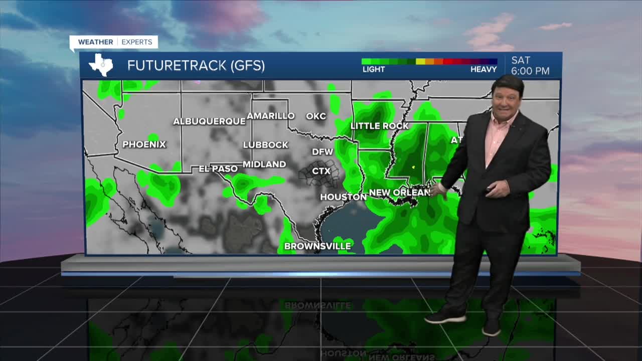


25 EVENING WEATHER — Happy Halloween Weekend! We are expecting some wet weather across the area tonight into Saturday morning. Lows tonight will fall into the low to mid 60s. Saturday, showers will start off the day, but as of now, it appears we should see decreasing rain chances Saturday evening just in time for trick-or-treating. Highs in the 70s will be falling into the 60s Saturday evening, so temperatures are looking nice and fall-like. Sunday, it's back to more of a spring feel with partly to mostly cloudy skies and highs in the low 80s.
Our next front will be arriving late Monday into Tuesday. Most of Monday should be quiet with warm highs in the mid 80s. A cold front will likely develop scattered showers and storms along it Monday evening as it rolls through Central Texas. The best chance for strong storms will be north of our area, but some gusty winds will be possible as the line moves through the region. Showers and storms will linger in the Brazos Valley through Tuesday morning. Highs will be back in the mid 70s with breezy northwest winds behind the front Tuesday afternoon.
Have a great and safe Halloween Weekend!
Want this forecast delivered to your inbox each morning? Sign up for the daily forecast email newsletter here.
