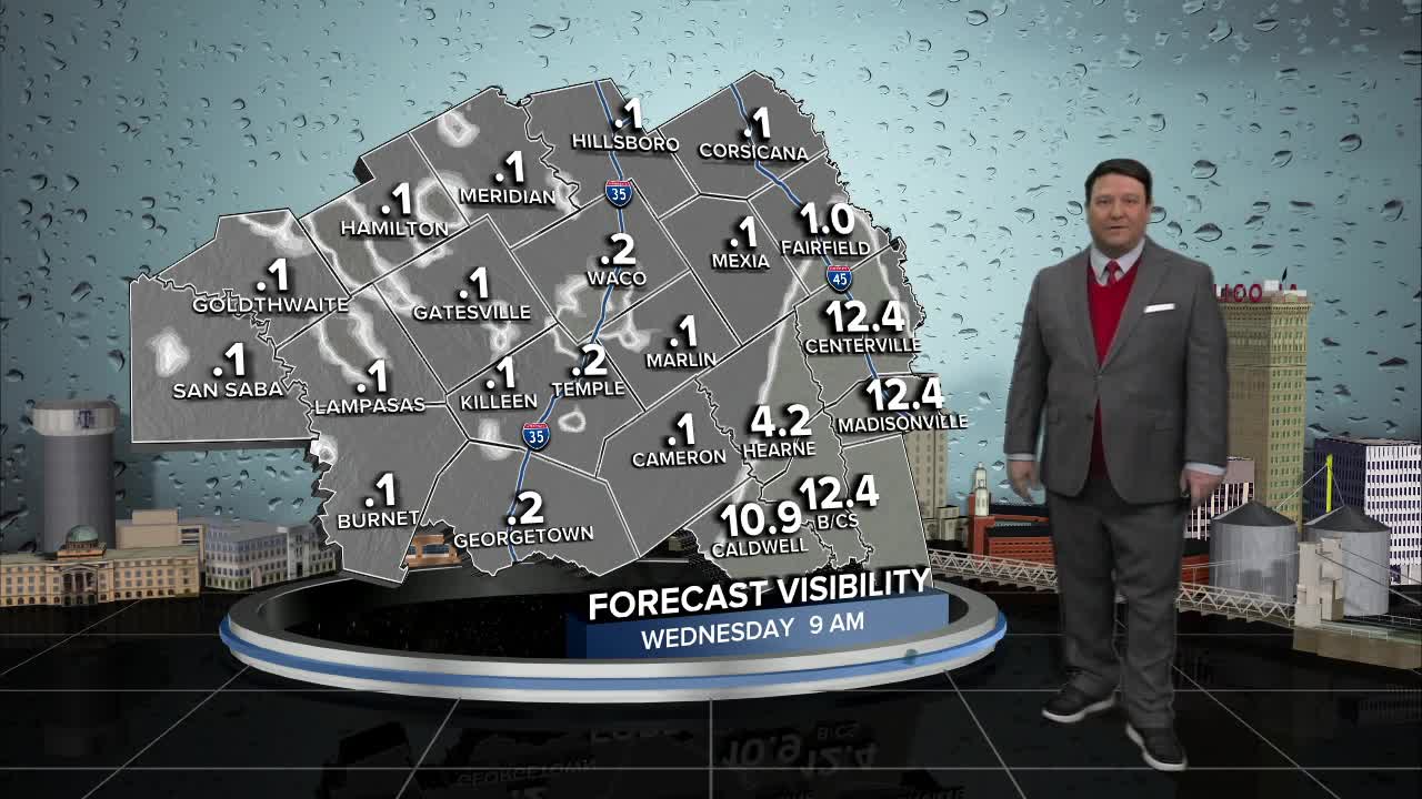


25 EVENING WEATHER — It looks like Mother Nature wants to continue to torment us with wintry weather. Tonight will bring the potential for some freezing fog, along with refreeze on roads. This could create more icy conditions Wednesday morning with temperatures in the mid 20s. We should see the fog lift by mid to late morning across the area. Highs Wednesday will be above freezing in the mid 40s.
There could be more patchy freezing fog Thursday morning as we drop into the low 30s. South to southwest winds and more sunshine Thursday afternoon will bring highs up into the mid 50s.
Another cold front is expected to move into the region Friday. Highs will be in the mid to upper 40s Friday afternoon, the mid 30s Saturday afternoon, and the mid 40s again Sunday afternoon. Lows are expected to be in the the teens and 20s. The good news...it looks dry with mostly sunny skies!
Want this forecast delivered to your inbox each morning? Sign up for the daily forecast email newsletter here.
