

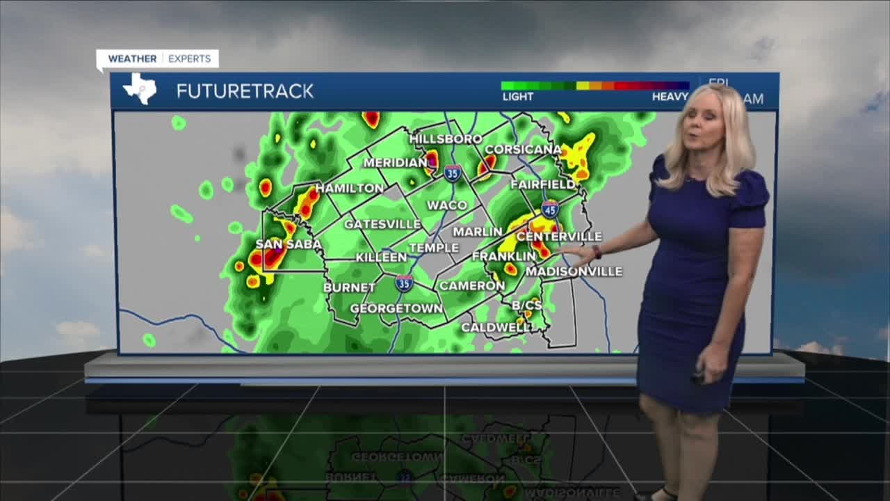



CENTRAL TEXAS — A cold front has entered Central Texas. Strong winds, lightning, and plenty of rain are on tap for Thursday and, to a lesser degree, Friday morning. The front entered San Saba, triggering a flood advisory for low-lying and poor drainage areas until 8 a.m. A Flood Watch is underway for San Saba, Mills, Bosque, Hamilton, Hill, McLennan, Navarro, Limestone, Milam, Falls, Coryell, Bell, Burnet , Lampasas, and Williamson counties through Friday morning.
The heaviest rain will fall today. The rain has entered the west side of Central Texas. It should begin to affect the I-35 corridor after morning rush hour. The front will continue to move northeast and bring rain to the I-35 corridor late morning into mid-day as it makes its way to the I-45 corridor and the Brazos Valley in the afternoon.
Two to four inches of rain are expected, with isolated areas receiving between four and seven. Storms will lessen overnight, and showers take over as we move into Friday morning. Rain chances remain but decrease Saturday, and we begin to clear up on Sunday.
Temperatures will drop to the low 80s today and Friday. They should bottom out in the upper 70s on Saturday. Next week will be cooler, drier, and quite pleasant, with highs in the low 80s and the return of sunshine.
Want this forecast delivered to your inbox each morning? Sign up for the daily forecast email newsletter here.
