

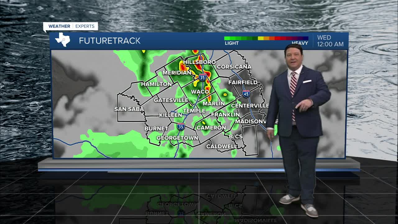


25 EVENING WEATHER — A few scattered storms are possible this evening across Central Texas. The main threats from any storms are small hail, gusty winds, lightning, and locally heavy rain. This activity will die out after midnight with lows in the mid to upper 60s. Tuesday looks a bit quieter, with just a 20% chance of isolated storms. Highs will be in the upper 80s.
Our next more significant upper low will arrive Tuesday night into Wednesday morning. A line of storms is expected to move across the area at this time. Heavy rain will be the main threat, but some small hail and gusty winds are possible. Rain chances should taper off through the day Wednesday from west to east with highs in the low to mid 80s.
A few more scattered storms are possible Thursday into Friday, but rain chances will go down to 20-30%. This trend will likely continue into the weekend. Sunday, a cold front may sweep across the area with a little more widespread rain and storm activity. This front looks strong enough to where it may keep us quiet for most of next week with highs in the low to mid 80s and lows in the 60s to near 70°.
Want this forecast delivered to your inbox each morning? Sign up for the daily forecast email newsletter here.
