

25 EVENING WEATHER — Moisture values are a bit higher this evening, but the best dynamics for storms is north of our area. With that said, we still may see a few scattered showers and storms from time to time through the evening hours.
A stronger storm or two is possible, but most of the severe weather threat will be north of I-20 in north Texas up into Oklahoma. We should just be cloudy by morning with lows in the upper 60s to near 70°.
Thursday and Friday both look warmer with low clouds in the morning and partly cloudy skies in the afternoon. Most, if not all, storm activity will stay in west or northwest Texas. There is a small chance of storms across our far western areas each evening. Highs will be in the mid 80s with lows in the mid to upper 60s.
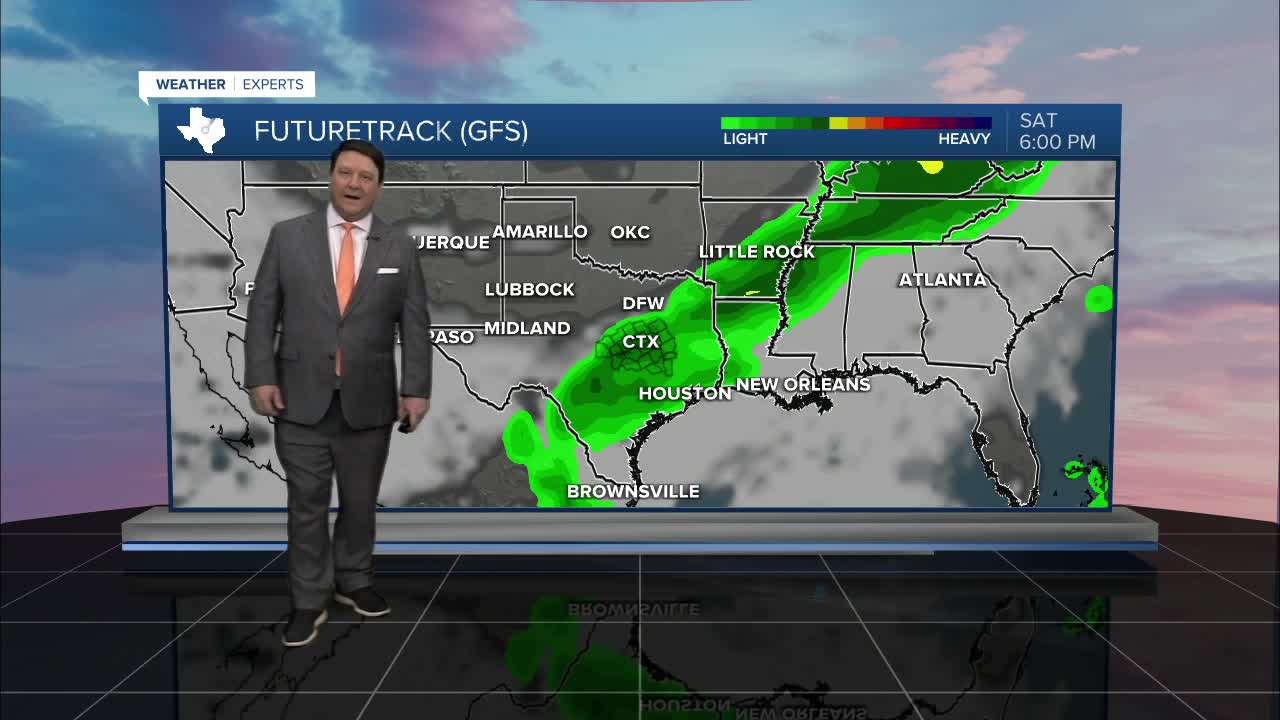
Bigger changes are in-store over the weekend. A cold front will barrel into Central Texas Saturday morning. Temperatures will be around 70° Saturday morning, but we should fall into the 50s and 60s behind the front. Areas of showers and isolated storms will also be possible. Sunday, we should see the rain pass to our south with partly cloudy skies and highs in the low 70s.
Another round of showers is possible Monday and Tuesday of next week. This will keep temperatures cool, especially Monday, withe highs in the mid 60s. We should be back in the low to mid 70s Tuesday.
Want this forecast delivered to your inbox each morning? Sign up for the daily forecast email newsletter here.
