

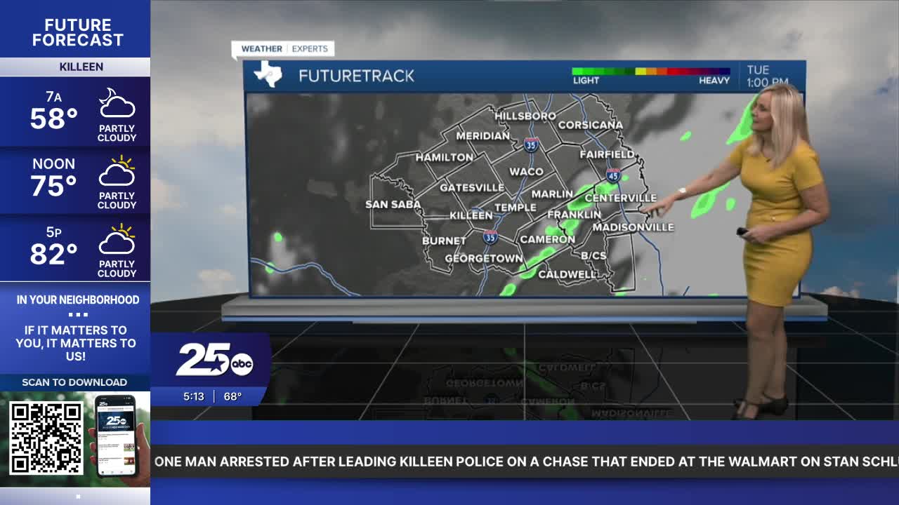


CENTRAL TEXAS — If you are an early riser, you may have seen some light rain grace your area. A light line passed through McLennan, Coryell, Bell, Lampasas, Burnet, and Hill counties. The accumulation is barely measurable. Basically, moisture is returning to Central Texas, and all the comfortable dry air is leaving, at least for a week.
It will mostly be rain-free through Wednesday, with some areas receiving light showers or a quick isolated storm. Rain chances increase Thursday, and our best chance arrives Friday at 60%. At this point, we are looking at a mostly dry Halloween. There's a 20% chance of rain for trick-or-treaters, with an emphasis west of I-35.
Temperatures will remain above average. Expect the low 80s, and a quick dip to the 70s for Friday's rain-cooled air. It will be a warm and somewhat humid weekend with temperatures around 80 degrees. The humidity is on the uptick with the added moisture returning to the atmosphere. But it will not feel too intense.
Daylight saving time ends on Sunday. So remember to set your clocks back an hour when you go to bed Saturday night. You'll get an extra hour of sleep on Sunday.
Next week we have a cold front arriving. At this point, it looks like it will move to Central Texas late Monday or maybe Tuesday. It should bring us a little rain and drop temperatures mid-week, back to the 70s.
Want this forecast delivered to your inbox each morning? Sign up for the daily forecast email newsletter here.
