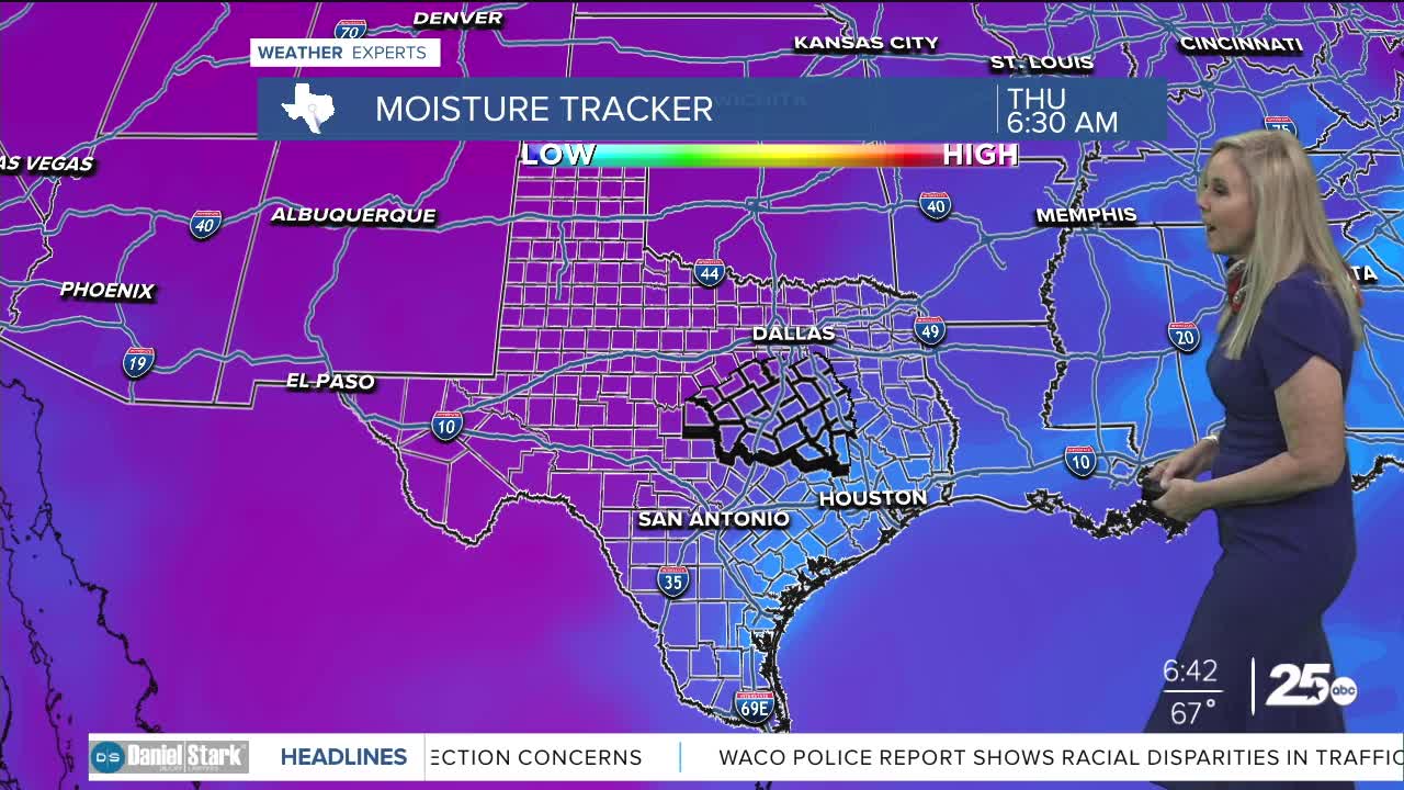


CENTRAL TEXAS — Central Texans are waking up to lightly humid conditions with dew points in the 60s. However, that will drastically change by this afternoon. Dew points will plummet into the 30s and the relative humidity levels will drop below 20%. Those factors have created a local moderate fire danger in Central Texas, mostly focusing on the western side of I-35.
The positive news amongst these dry conditions is that wind speeds will not be high. Primarily west winds will help funnel in dry air, but will remain at average levels between five and 10 mph.
On Friday, a weak cold front will be a welcome relief. The front will bring in moisture and level out the relative humidity. This will change the moderate fire threat to a low threat for Friday. At best, the front may give the Brazos Valley a wee bit of rain, topping out with a 20% chance.
The front will not bring much needed rain to Central Texas, but it will cool us off for a few days. High temperatures will plummet to the 60s beggining Saturday and lasting through the beginning of next week. Morning temperatures will dive to the upper 30s. By mid week we begin to climb back to warm afternoons in the 70s.
Want this forecast delivered to your inbox each morning? Sign up for the daily forecast email newsletter here.
