



CENTRAL TEXAS — Central Texas was graced with overnight storms that left between one to three inches of rain. Some of the hardest hit counties were Burnett, Williamson and Freestone. A few flash flood warnings were issued as this quick moving system helped deliver some much needed rain.
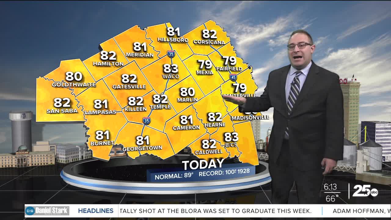
Now that the storms have passed, we can expect drier conditions with partly cloudy skies as we move into the afternoon. The small possibility of a pop-up storm remains. High temperatures will be slightly lower than yesterday thanks to the rain cooled air, and should hover in the low 80s.
For Thursday, temperatures begin to crawl upwards with highs in the upper 80s. We can expect to reach the 90s as we move into the weekend. Another consideration will be a spike in humidity. As dew points rise into the 70s, the heat index will make it feel considerably hotter, so dress accordingly and keep hydrated.
Pop-up storm chances remain very low through Saturday. Rain chances increase to 40% Sunday and Monday, as a stationary front dips toward Central Texas. After that, we look to kick off with drier days in the forecast.
Want this forecast delivered to your inbox each morning? Sign up for the daily forecast email newsletter here.
