

CENTRAL TEXAS — Enjoy another dry day, because after Wednesday, a slew of daily rain chances enter the forecast. Central Texans are waking up to a slightly warmer morning with lows in the 50s. Clouds will decrease as the day progresses and high temperatures will rise to the upper 70s with a southeast wind flow.
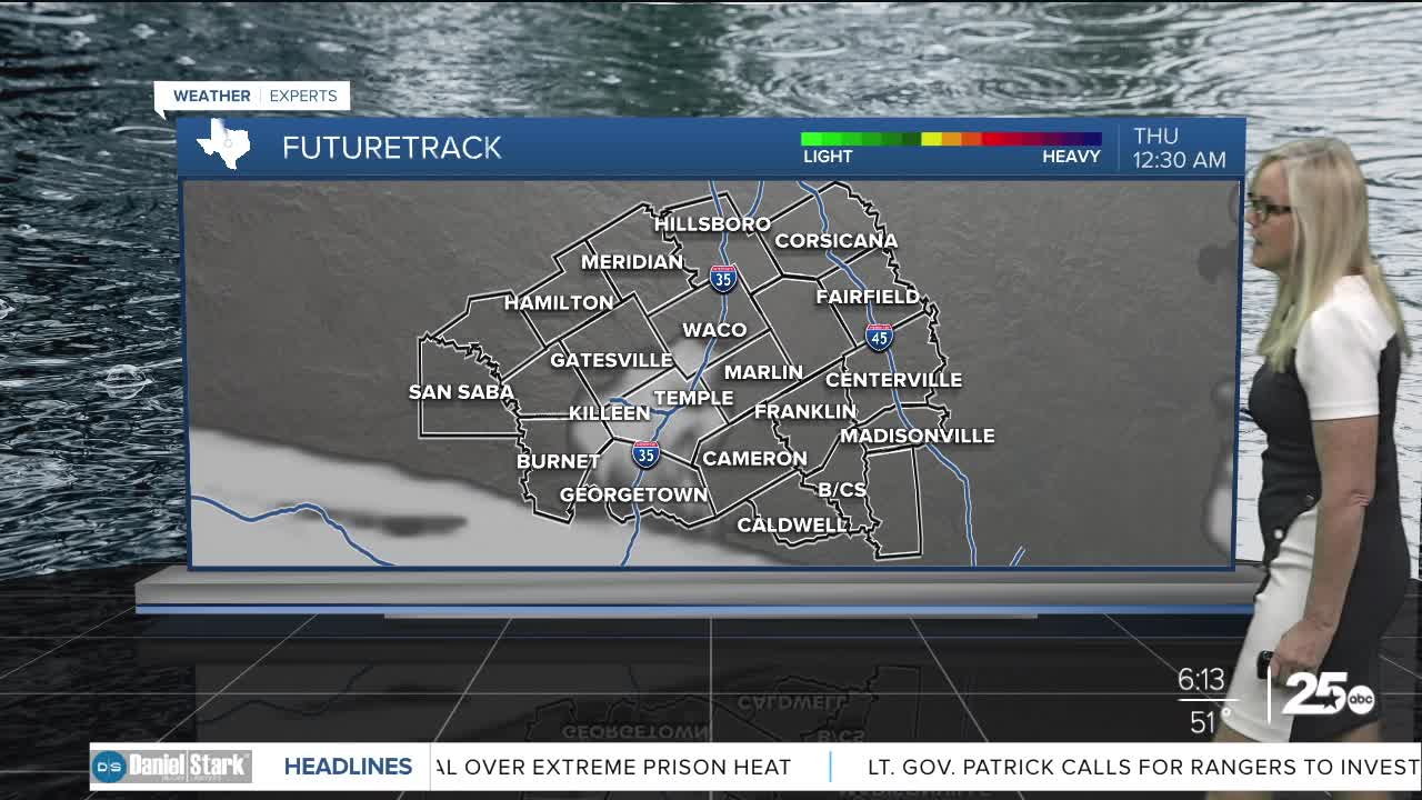
A weak system and moisture from the Gulf will aid in the development for rain on Thursday. The models have pulled back on precipitation and it looks at this point as though we will have very little rain on Thursday with just a few isolated storms popping up. There will be an increase of rain developing Friday.
High temperatures will hang out near 80 degrees on Thursday. They should fall to the upper 70s on Friday and likely remain there through the weekend.
As we move into the weekend a stronger system could bring severe weather to Central Texas. The models are favoring Sunday for the heftiest threat. Exactly when these storms arrive will be key in whether we see severe conditions. If the storms are heaviest on Sunday afternoon, it would increase the opportunity for severe weather. The latest model runs have been pushing the intensity to the north, closer to the Dallas area. At the least we will get heavy rain and some thunderstorms, but the threat remains. We will be watching these systems closely over the next several days with intense eyes on Sunday.
Want this forecast delivered to your inbox each morning? Sign up for the daily forecast email newsletter here.
