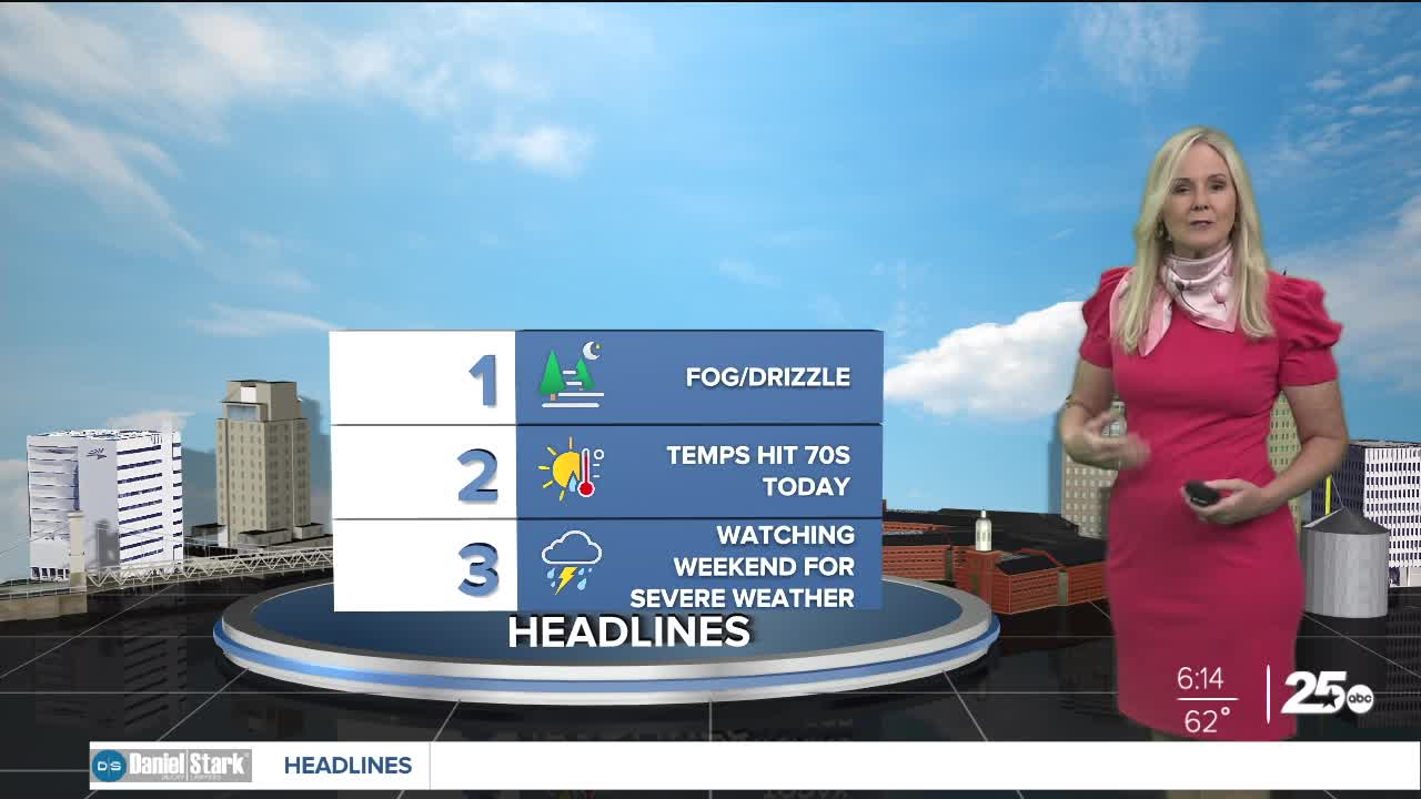


CENTRAL TEXAS — Wednesday marks a foggy and drizzly morning with dew points and temperatures lining up in the lower 60s. The thickest fog lies in counties east of I-35, with may areas down to half mile visibility through the 7a.m. hours. Drivers should use caution during the morning commute. The I-35 corridor has some fog but it shouldn't impede visibility while driving.
Throughout the day, light rain will grace Central Texas on and off and in a very scattered fashion. The Brazos valley has the best opportunity for moderate rain or a pop up thunderstorm. Overall, there will be cloud coverage. It will be decreasing as the day progresses with temperatures increasing. High in be in the upper 70s.
Thursday should be relatively dry. Then rain chances and the opportunity for a few storms return on Friday, and through the weekend. Temperatures will reach the 80s on Thursday and continue to clime into the mid to upper 80s for the weekend.
All eyes will be on Sunday in case severe weather breaks the cap. At this point, most of the models are showing the best chances of severe weather hitting closer to the Dallas area.
Want this forecast delivered to your inbox each morning? Sign up for the daily forecast email newsletter here.
